Transport Functions
Port
Road
Hub Profile
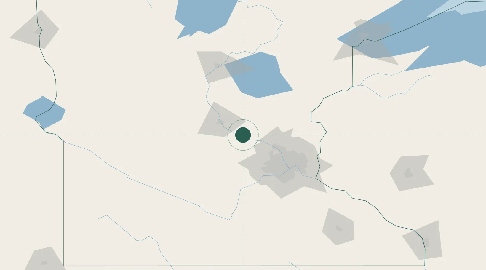
Place type
Populated place
Region
Minnesota
Population
4,700
Time zone
America/Chicago
Elevation
296 m
Location
Nearby Logistics Neighbours
Cities
- 1Big Lake11 km
- 2Monticello11 km
- 3Clearwater15 km
- 4Maple Lake20 km
- 5Buffalo24 km
Ports
- 1Superior205 km
- 2Duluth206 km
- 3Two Harbors249 km
- 4Ashland268 km
- 5Washburn271 km
Airports
Trade Zones
- 1FTZ No. 119 Minneapolis-St. Paul68 km
- 2FTZ No. 051 Duluth198 km
- 3FTZ No. 267 Fargo290 km
- 4FTZ No. 288 Northwest Iowa303 km
- 5FTZ No. 220 Sioux Falls309 km
DatabookThe Record of Consolidated Knowledge
United States beyond logistics?