Transport Functions
Rail
Road
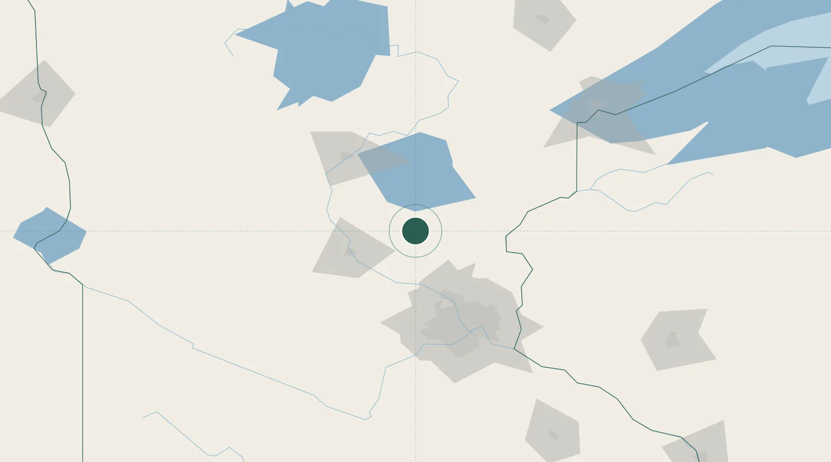
Hub Profile
Place type
Provincial seat
Region
Minnesota
Population
2,883
Time zone
America/Chicago
Elevation
329 m
Location
Nearby Logistics Neighbours
Ports
- 1Superior164 km
- 2Duluth164 km
- 3Two Harbors208 km
- 4Ashland234 km
- 5Washburn236 km
Airports
Trade Zones
- 1FTZ No. 119 Minneapolis-St. Paul93 km
- 2FTZ No. 051 Duluth156 km
- 3FTZ No. 267 Fargo283 km
- 4FTZ No. 259 Koochiching County286 km
- 5FTZ No. 288 Northwest Iowa346 km
DatabookThe Record of Consolidated Knowledge
United States beyond logistics?