Transport Functions
Rail
Road
Multimodal
Hub Profile
Place type
Populated place
Region
Mississippi
Population
1,886
Time zone
America/Chicago
Elevation
73 m
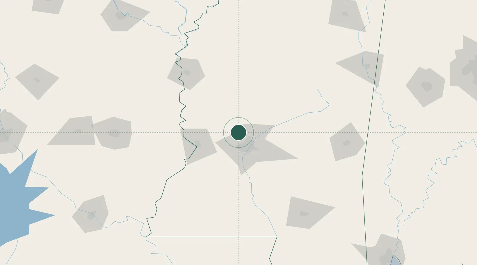
Location
Nearby Logistics Neighbours
Cities
- 1Pocahontas8 km
- 2Yazoo City36 km
- 3Edwards37 km
- 4Byram39 km
- 5Ballground41 km
Ports
- 1Madisonville238 km
- 2Baton Rouge246 km
- 3Slidell257 km
- 4Gulfport269 km
- 5Biloxi274 km
Airports
Trade Zones
DatabookThe Record of Consolidated Knowledge
United States beyond logistics?