UN/LOCODE hub · United States
USYAZ
Yazoo City
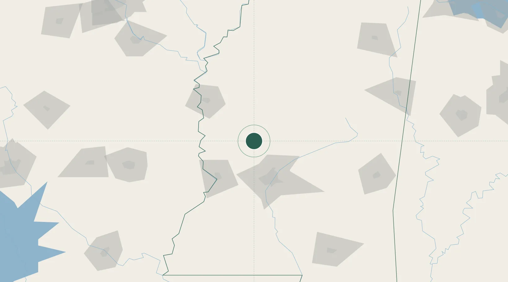
32.8500°, -90.4000°
11,245
Population
4
Transport functions
Transport Functions
Port
Rail
Road
Multimodal
Hub Profile
Place type
Provincial seat
Region
Mississippi
Population
11,245
Time zone
America/Chicago
Elevation
34 m
Location
Nearby Logistics Neighbours
Cities
- 1Flora36 km
- 2Tchula41 km
- 3Lexington43 km
- 4Pocahontas44 km
- 5Ballground47 km
Ports
- 1Port Of Memphis247 km
- 2Madisonville274 km
- 3Baton Rouge277 km
- 4Slidell293 km
- 5Gulfport305 km
Airports
Trade Zones
- 1FTZ No. 158 Vicksburg Jackson69 km
- 2FTZ No. 287 Tunica County203 km
- 3FTZ No. 262 Southaven236 km
- 4FTZ No. 077 Memphis254 km
- 5FTZ No. 223 Memphis255 km
DatabookThe Record of Consolidated Knowledge
United States beyond logistics?