Transport Functions
Multimodal
Hub Profile
Place type
Populated place
Region
Mississippi
Time zone
America/Chicago
Elevation
35 m
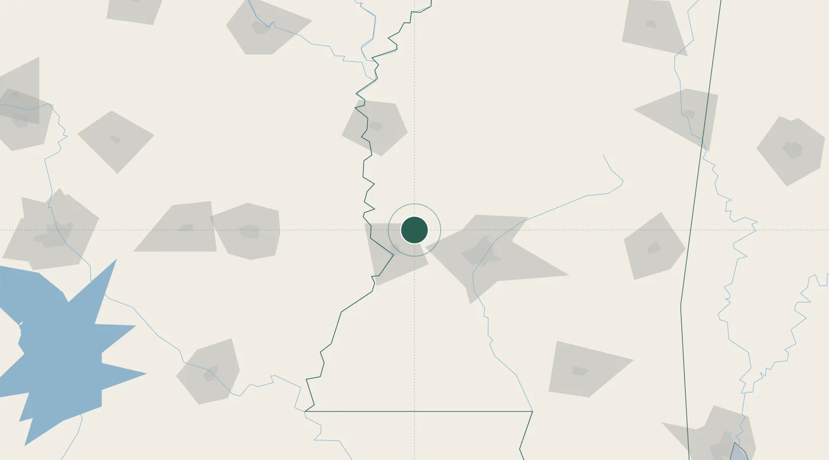
Location
Nearby Logistics Neighbours
Cities
- 1Redwood8 km
- 2Vicksburg21 km
- 3Edwards27 km
- 4Talla Bena40 km
- 5Flora41 km
Ports
- 1Baton Rouge236 km
- 2Madisonville244 km
- 3Slidell268 km
- 4Reserve277 km
- 5Convent280 km
Airports
Trade Zones
- 1FTZ No. 158 Vicksburg Jackson24 km
- 2FTZ No. 287 Tunica County236 km
- 3FTZ No. 154 Baton Rouge238 km
- 4FTZ No. 155 Calhoun Victoria Counties238 km
- 5FTZ No. 124 Gramercy275 km
DatabookThe Record of Consolidated Knowledge
United States beyond logistics?