UN/LOCODE hub · United States
USMPA
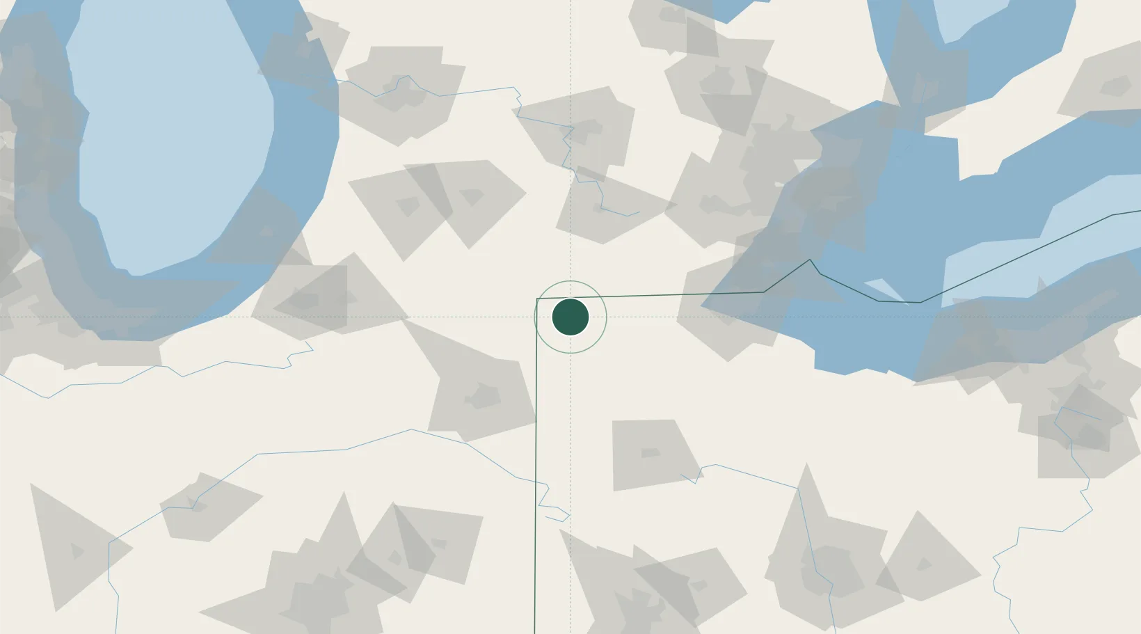
Morris Plains
41.5833°, -84.6000°
5,532
Population
2
Transport functions
Transport Functions
Rail
Road
Hub Profile
Place type
Populated place
Region
New Jersey
Population
5,532
Time zone
America/New_York
Elevation
119 m
Location
Nearby Logistics Neighbours
Cities
- 1West Jefferson, Williams5 km
- 2Holiday City6 km
- 3Alvordton16 km
- 4Stryker19 km
- 5Butler29 km
Ports
- 1Toledo95 km
- 2Monroe110 km
- 3Trenton134 km
- 4Amherstburg137 km
- 5Wyandotte138 km
Airports
Trade Zones
- 1FTZ No. 182 Fort Wayne80 km
- 2FTZ No. 008 Toledo89 km
- 3FTZ No. 151 Findlay96 km
- 4FTZ No. 043 Battle Creek101 km
- 5FTZ No. 070 Detroit141 km
DatabookThe Record of Consolidated Knowledge
United States beyond logistics?