Transport Functions
Multimodal
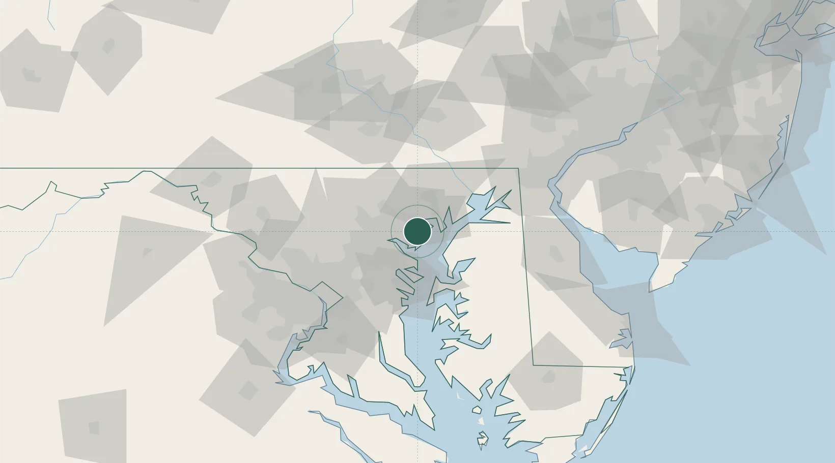
Hub Profile
Place type
Populated place
Region
Maryland
Time zone
America/New_York
Elevation
12 m
Location
Nearby Logistics Neighbours
Cities
- 1Essex3 km
- 2Rosedale6 km
- 3Perry Hall9 km
- 4Edgemere9 km
- 5White Marsh10 km
Ports
- 1Baltimore14 km
- 2Annapolis37 km
- 3Havre De Grace39 km
- 4Washington D.C.72 km
- 5Alexandria77 km
Airports
Trade Zones
DatabookThe Record of Consolidated Knowledge
United States beyond logistics?