UN/LOCODE hub · United States
USHIM
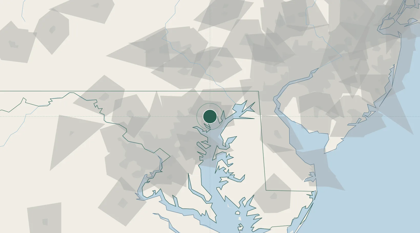
White Marsh
39.3989°, -76.4048°
9,513
Population
3
Transport functions
Transport Functions
Rail
Road
Multimodal
Hub Profile
Place type
Populated place
Region
Maryland
Population
9,513
Time zone
America/New_York
Elevation
16 m
Logistics facilities
1
Location
Nearby Logistics Neighbours
Cities
- 1Perry Hall4 km
- 2Glen Arm9 km
- 3Edgewater10 km
- 4Essex12 km
- 5Rosedale12 km
Ports
- 1Baltimore21 km
- 2Havre De Grace31 km
- 3Annapolis47 km
- 4New Castle77 km
- 5Washington D.C.80 km
Airports
Trade Zones
DatabookThe Record of Consolidated Knowledge
United States beyond logistics?