UN/LOCODE hub · United States
USWJ3
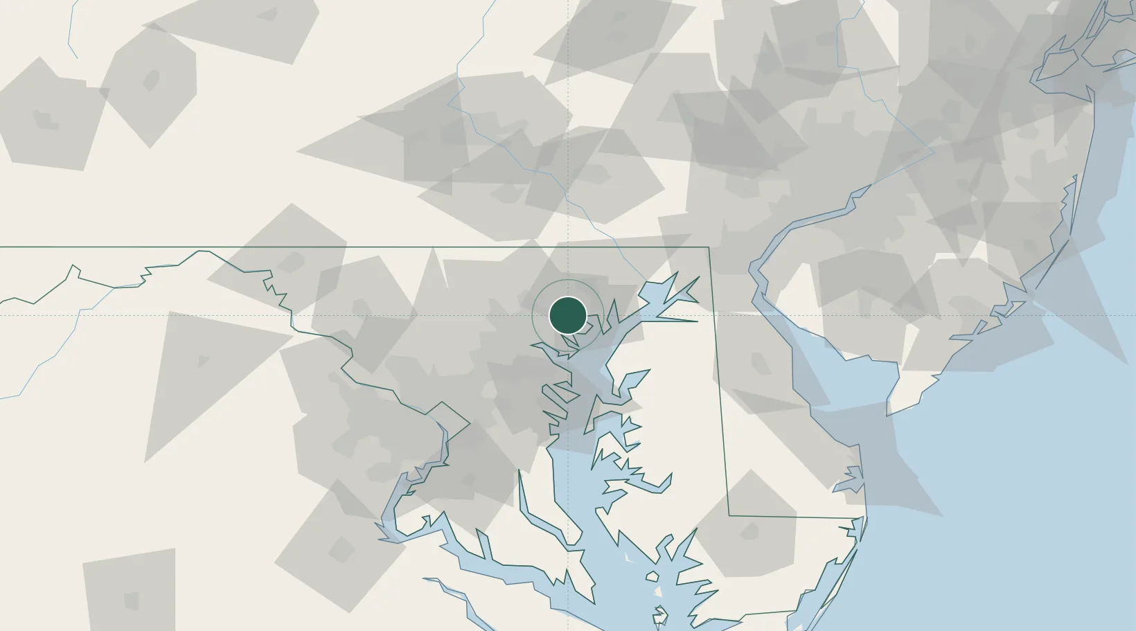
Perry Hall
39.4000°, -76.4500°
28,474
Population
1
Transport functions
Transport Functions
Multimodal
Hub Profile
Place type
Populated place
Region
Maryland
Population
28,474
Time zone
America/New_York
Elevation
77 m
Location
Nearby Logistics Neighbours
Cities
- 1White Marsh4 km
- 2Glen Arm6 km
- 3Edgewater9 km
- 4Rosedale10 km
- 5Essex11 km
Ports
- 1Baltimore19 km
- 2Havre De Grace35 km
- 3Annapolis46 km
- 4Washington D.C.78 km
- 5New Castle81 km
Airports
Trade Zones
DatabookThe Record of Consolidated Knowledge
United States beyond logistics?