UN/LOCODE hub · United States
USGME
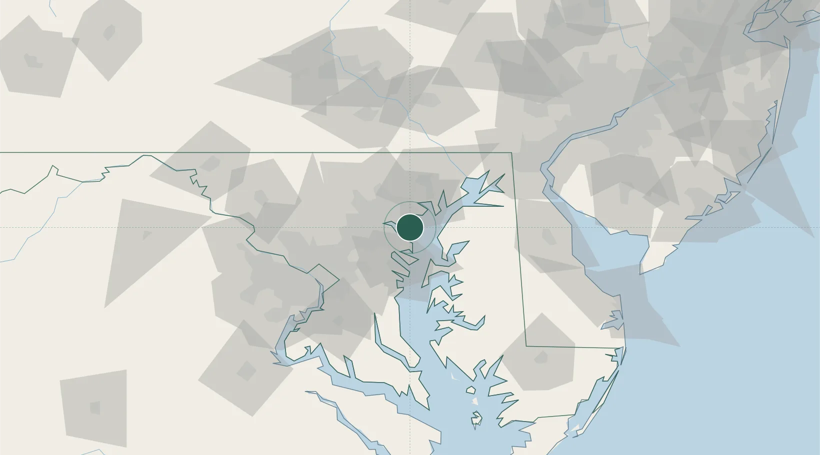
Edgemere
39.2333°, -76.4500°
8,669
Population
1
Transport functions
Transport Functions
Port
Hub Profile
Place type
Populated place
Region
Maryland
Population
8,669
Time zone
America/New_York
Elevation
6 m
Location
Nearby Logistics Neighbours
Cities
- 1Essex8 km
- 2Baltimore9 km
- 3Edgewater9 km
- 4Rosedale10 km
- 5Curtis Bay, Baltimore12 km
Ports
- 1Baltimore12 km
- 2Annapolis28 km
- 3Havre De Grace46 km
- 4Washington D.C.65 km
- 5Alexandria70 km
Airports
Trade Zones
DatabookThe Record of Consolidated Knowledge
United States beyond logistics?