Transport Functions
Rail
Road
Multimodal
Hub Profile
Place type
Populated place
Region
Maryland
Population
39,262
Time zone
America/New_York
Elevation
12 m
Logistics facilities
1
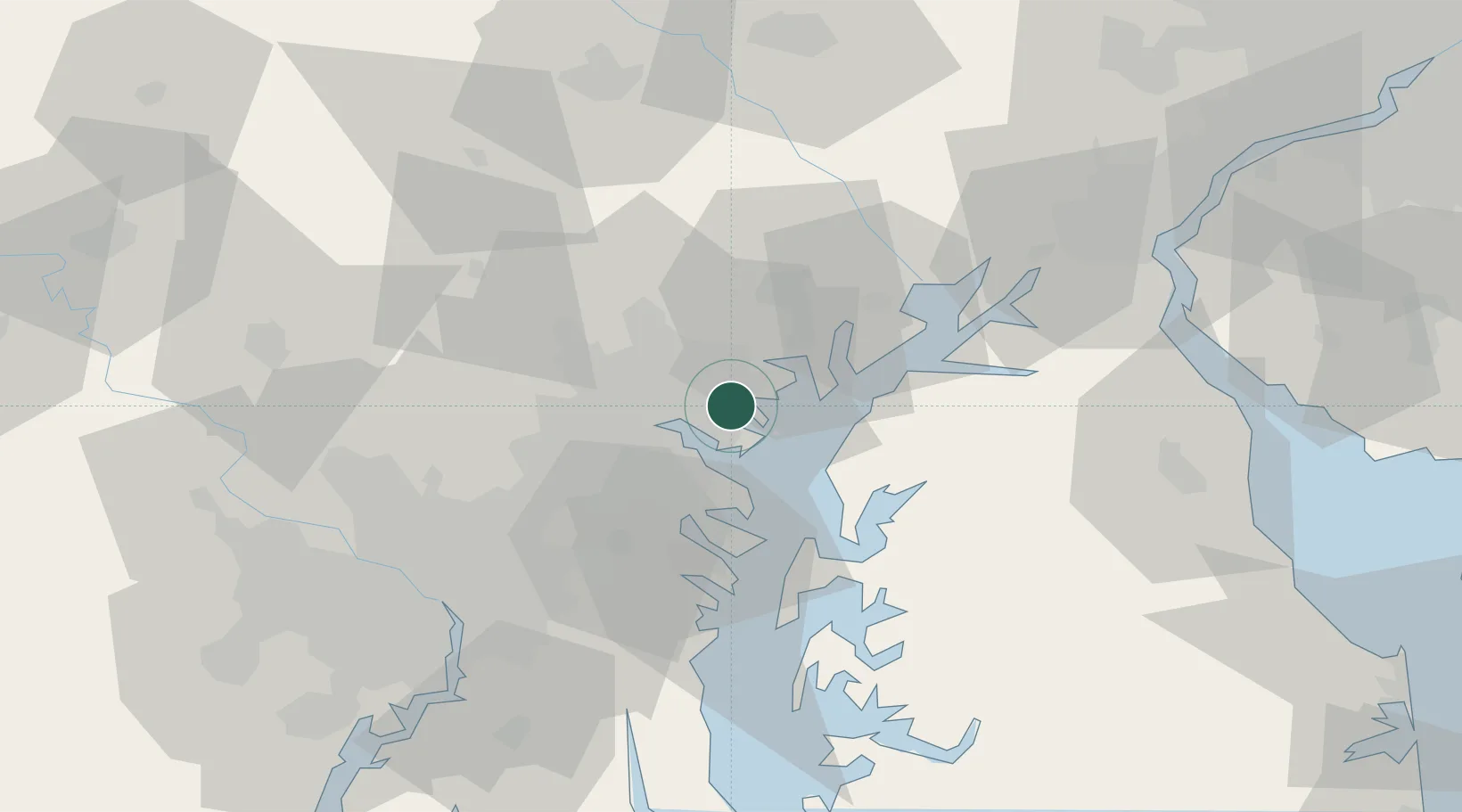
Location
Nearby Logistics Neighbours
Cities
- 1Rosedale3 km
- 2Edgewater3 km
- 3Edgemere8 km
- 4Baltimore8 km
- 5Perry Hall11 km
Ports
- 1Baltimore11 km
- 2Annapolis35 km
- 3Havre De Grace42 km
- 4Washington D.C.69 km
- 5Alexandria74 km
Airports
Trade Zones
DatabookThe Record of Consolidated Knowledge
United States beyond logistics?