UN/LOCODE hub · United States
USRSA
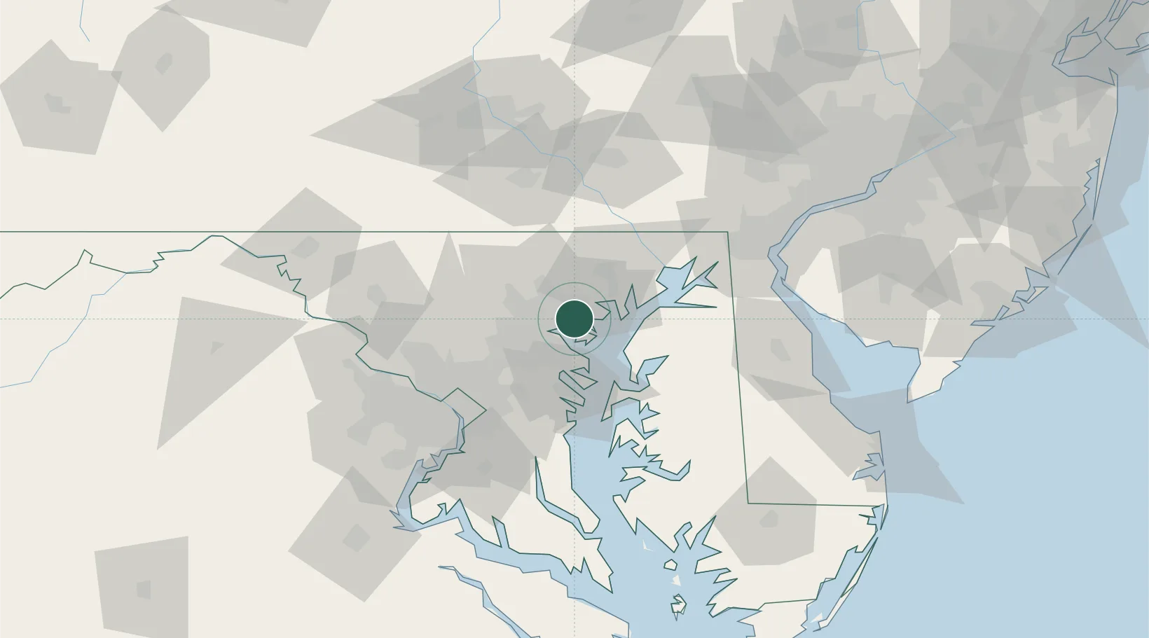
Rosedale
39.3167°, -76.5000°
19,257
Population
3
Transport functions
Transport Functions
Rail
Road
Multimodal
Hub Profile
Place type
Populated place
Region
Maryland
Population
19,257
Time zone
America/New_York
Elevation
6 m
Location
Nearby Logistics Neighbours
Cities
- 1Essex3 km
- 2Edgewater6 km
- 3Baltimore7 km
- 4Perry Hall10 km
- 5Edgemere10 km
Ports
- 1Baltimore9 km
- 2Annapolis37 km
- 3Havre De Grace43 km
- 4Washington D.C.68 km
- 5Alexandria74 km
Airports
Trade Zones
DatabookThe Record of Consolidated Knowledge
United States beyond logistics?