UN/LOCODE hub · United States
USEPF
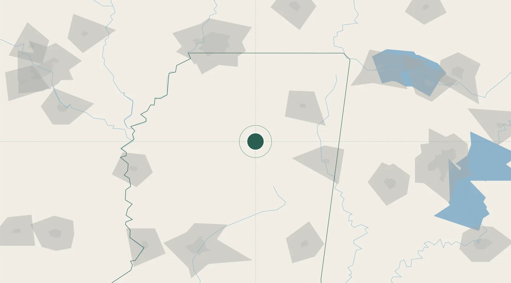
East Prairie
33.7833°, -89.3833°
3,155
Population
1
Transport functions
Transport Functions
Multimodal
Hub Profile
Place type
Populated place
Region
Missouri
Population
3,155
Time zone
America/Chicago
Elevation
93 m
Location
Nearby Logistics Neighbours
Cities
- 1Bruce24 km
- 2Eupora30 km
- 3Water Valley46 km
- 4Hickory Flat, Chicasaw53 km
- 5Ackerman57 km
Ports
- 1Port Of Memphis160 km
- 2Mobile365 km
- 3Biloxi381 km
- 4Gulfport383 km
- 5Madisonville383 km
Airports
Trade Zones
- 1FTZ No. 262 Southaven143 km
- 2FTZ No. 287 Tunica County153 km
- 3FTZ No. 223 Memphis164 km
- 4FTZ No. 273 West Memphis169 km
- 5FTZ No. 077 Memphis169 km
DatabookThe Record of Consolidated Knowledge
United States beyond logistics?