UN/LOCODE hub · United States
USEUO
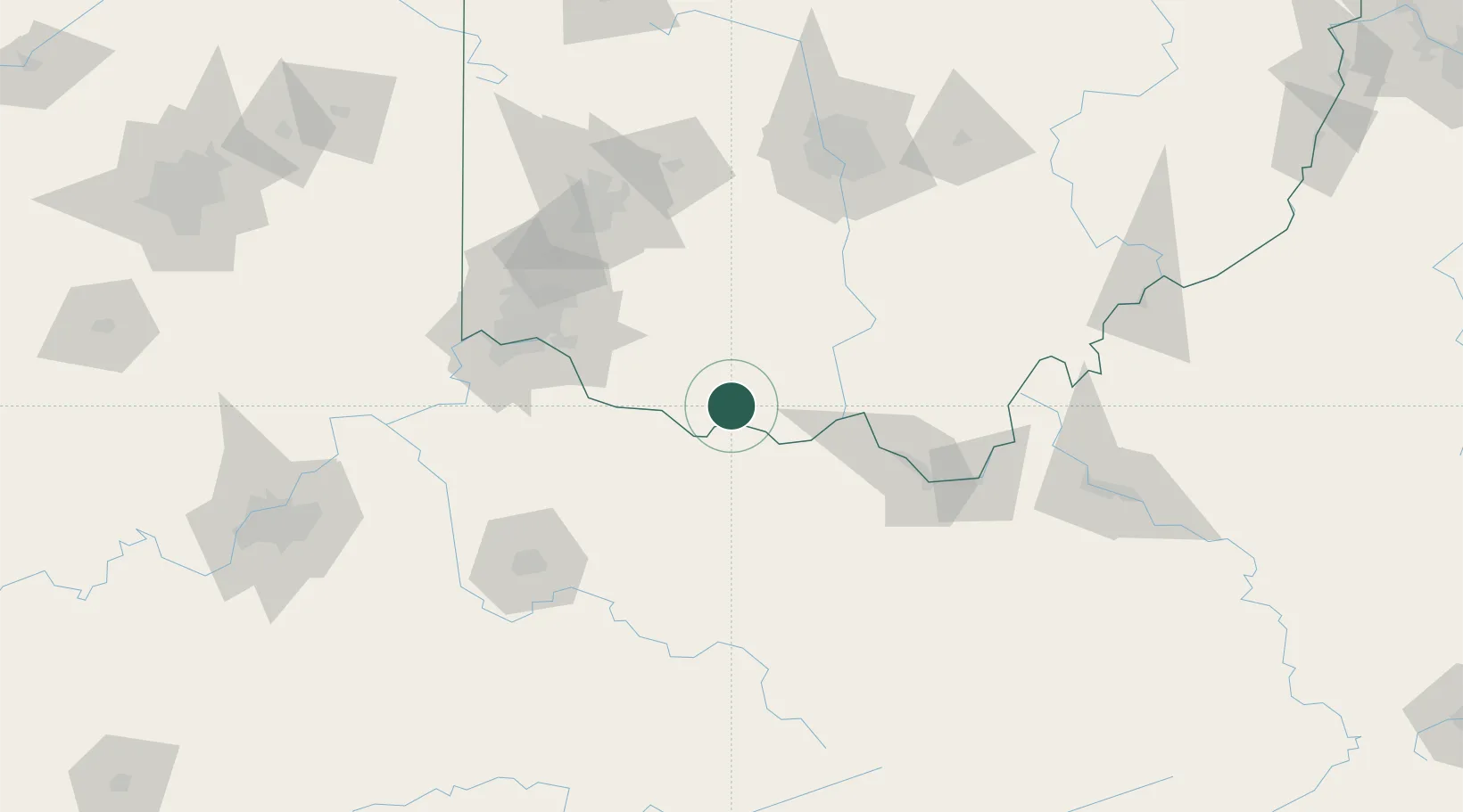
West Union
38.7833°, -83.5333°
3,179
Population
2
Transport functions
Transport Functions
Road
Multimodal
Hub Profile
Place type
Provincial seat
Region
Ohio
Population
3,179
Time zone
America/New_York
Elevation
290 m
Location
Nearby Logistics Neighbours
Cities
- 1Vanceburg28 km
- 2Augusta41 km
- 3West Portsmouth45 km
- 4Hillsboro, Ohio47 km
- 5Olive Hill62 km
Ports
- 1Huron303 km
- 2Sandusky305 km
- 3Port Clinton308 km
- 4Vermilion311 km
- 5Lorain320 km
Airports
Trade Zones
- 1FTZ No. 054 Clinton County75 km
- 2FTZ No. 046 CIncinnati92 km
- 3FTZ No. 047 Boone County119 km
- 4FTZ No. 138 Franklin County126 km
- 5FTZ No. 100 Dayton130 km
DatabookThe Record of Consolidated Knowledge
United States beyond logistics?