Transport Functions
Rail
Road
Hub Profile
Place type
Populated place
Region
Kentucky
Population
1,163
Time zone
America/New_York
Elevation
157 m
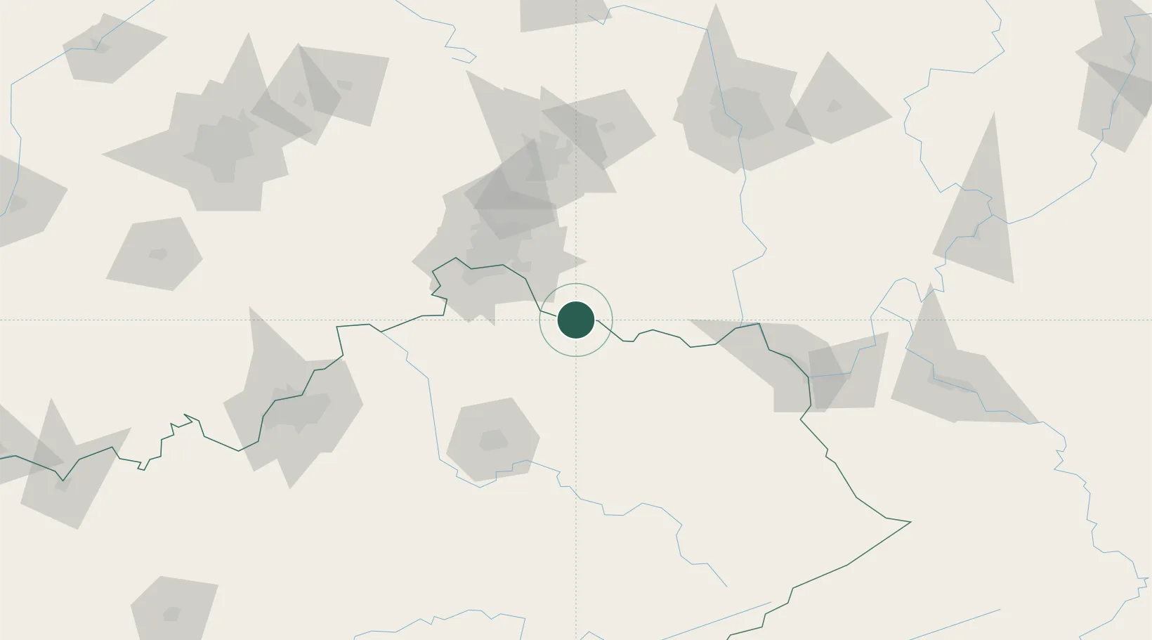
Location
Nearby Logistics Neighbours
Cities
- 1Falmouth30 km
- 2Butler32 km
- 3Amelia34 km
- 4West Union41 km
- 5Silver Grove45 km
Ports
- 1Sandusky318 km
- 2Huron318 km
- 3Port Clinton319 km
- 4Vermilion327 km
- 5Toledo329 km
Airports
Trade Zones
- 1FTZ No. 046 CIncinnati58 km
- 2FTZ No. 054 Clinton County76 km
- 3FTZ No. 047 Boone County80 km
- 4FTZ No. 100 Dayton117 km
- 5FTZ No. 138 Franklin County148 km
DatabookThe Record of Consolidated Knowledge
United States beyond logistics?