Transport Functions
Rail
Road
Hub Profile
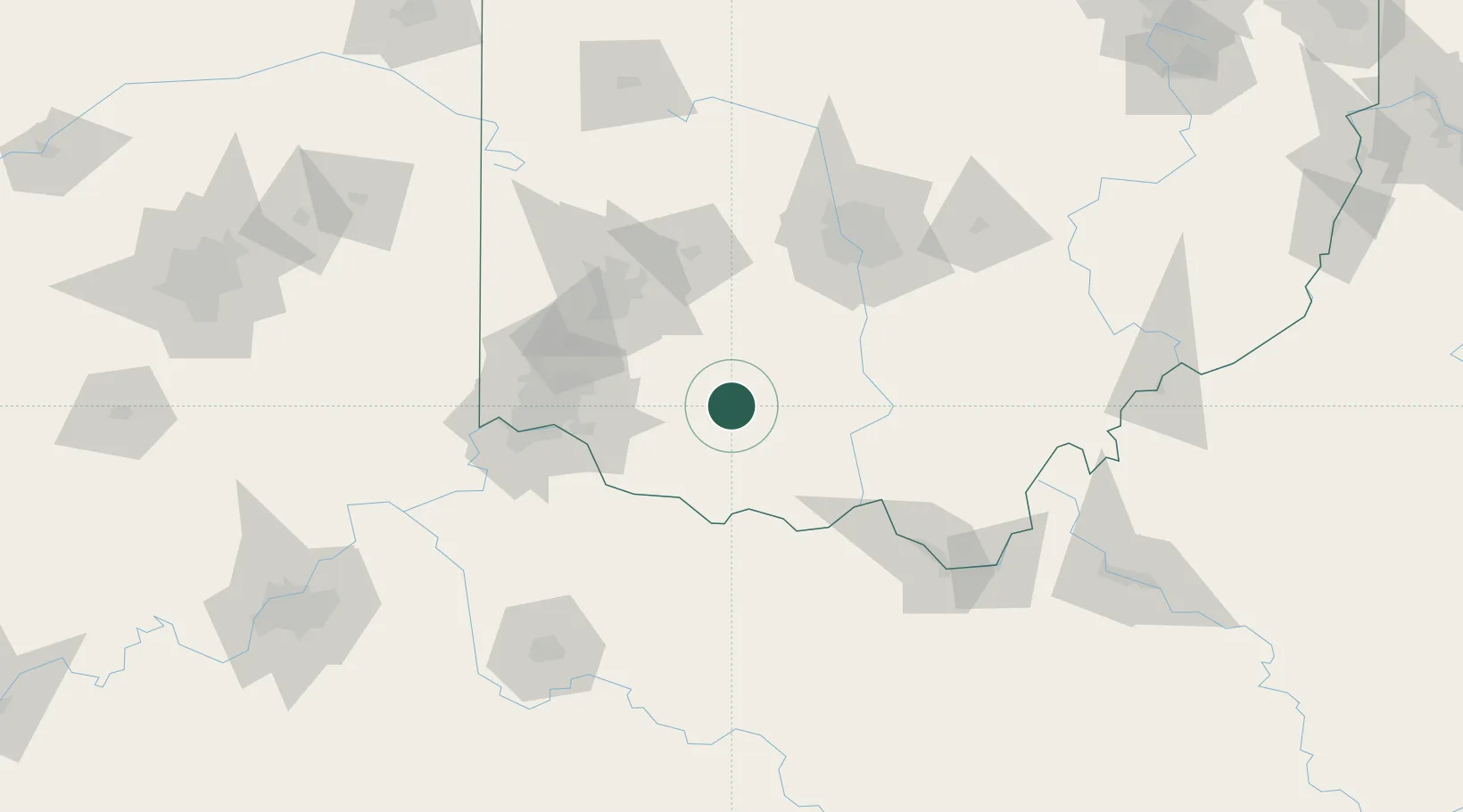
Region
OH
Location
Nearby Logistics Neighbours
Cities
- 1Sabina32 km
- 2Pleasant Plain42 km
- 3West Union47 km
- 4Waynesville55 km
- 5Amelia56 km
Ports
- 1Huron261 km
- 2Sandusky262 km
- 3Port Clinton264 km
- 4Vermilion270 km
- 5Toledo278 km
Airports
Trade Zones
- 1FTZ No. 054 Clinton County30 km
- 2FTZ No. 046 CIncinnati78 km
- 3FTZ No. 100 Dayton88 km
- 4FTZ No. 138 Franklin County90 km
- 5FTZ No. 047 Boone County113 km
DatabookThe Record of Consolidated Knowledge
United States beyond logistics?