UN/LOCODE hub · United States
USTMD
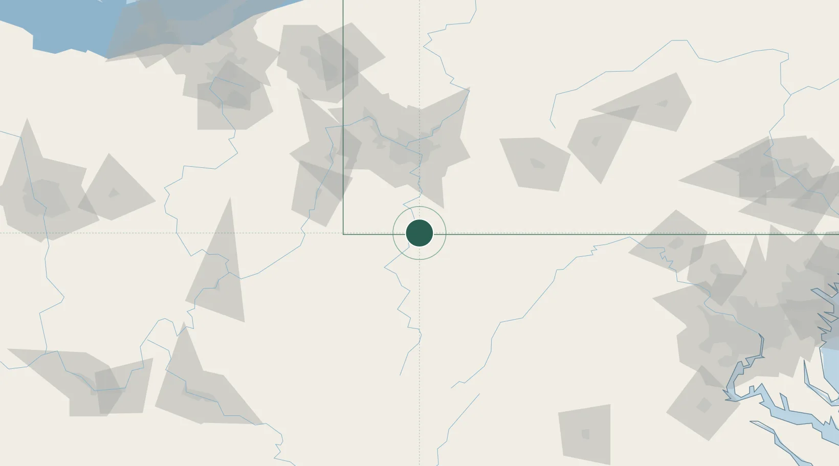
Point Marion
39.7333°, -79.8833°
1,140
Population
2
Transport functions
Transport Functions
Rail
Road
Hub Profile
Place type
Populated place
Region
Pennsylvania
Population
1,140
Time zone
America/New_York
Elevation
254 m
Location
Nearby Logistics Neighbours
Cities
- 1Smithfield9 km
- 2Kirby21 km
- 3Masontown22 km
- 4Bruceton Mills23 km
- 5Reedsville25 km
Ports
- 1Cleveland250 km
- 2Ashtabula253 km
- 3Conneaut255 km
- 4Fairport256 km
- 5Washington D.C.264 km
Airports
Trade Zones
- 1FTZ No. 033 Pittsburgh79 km
- 2FTZ No. 240 Martinsburg164 km
- 3FTZ No. 295 Central Pennsylvania182 km
- 4FTZ No. 185 Culpeper County208 km
- 5FTZ No. 181 Akron Canton208 km
DatabookThe Record of Consolidated Knowledge
United States beyond logistics?