Transport Functions
Rail
Road
Hub Profile
Place type
Provincial seat
Region
North Dakota
Population
437
Time zone
America/Chicago
Elevation
443 m
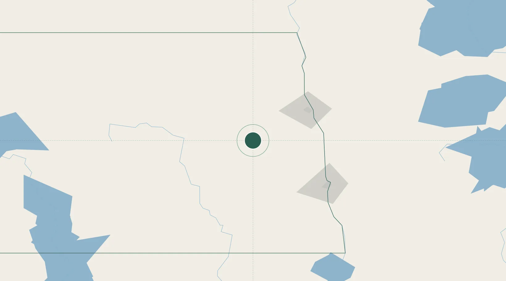
Location
Nearby Logistics Neighbours
Cities
- 1Cooperstown22 km
- 2Hatton32 km
- 3Mayville39 km
- 4Larimore47 km
- 5Buxton57 km
Ports
- 1Duluth441 km
- 2Superior445 km
- 3Two Harbors470 km
- 4Washburn534 km
- 5Bayfield536 km
Airports
Trade Zones
- 1FTZ No. 103 Grand Forks68 km
- 2FTZ No. 267 Fargo97 km
- 3Winnipegs Centreport Canada271 km
- 4FTZ No. 259 Koochiching County276 km
- 5FTZ No. 051 Duluth430 km
DatabookThe Record of Consolidated Knowledge
United States beyond logistics?