Transport Functions
Port
Rail
Road
Multimodal
Hub Profile
Place type
Populated place
Region
Georgia
Population
1,042
Time zone
America/New_York
Elevation
253 m
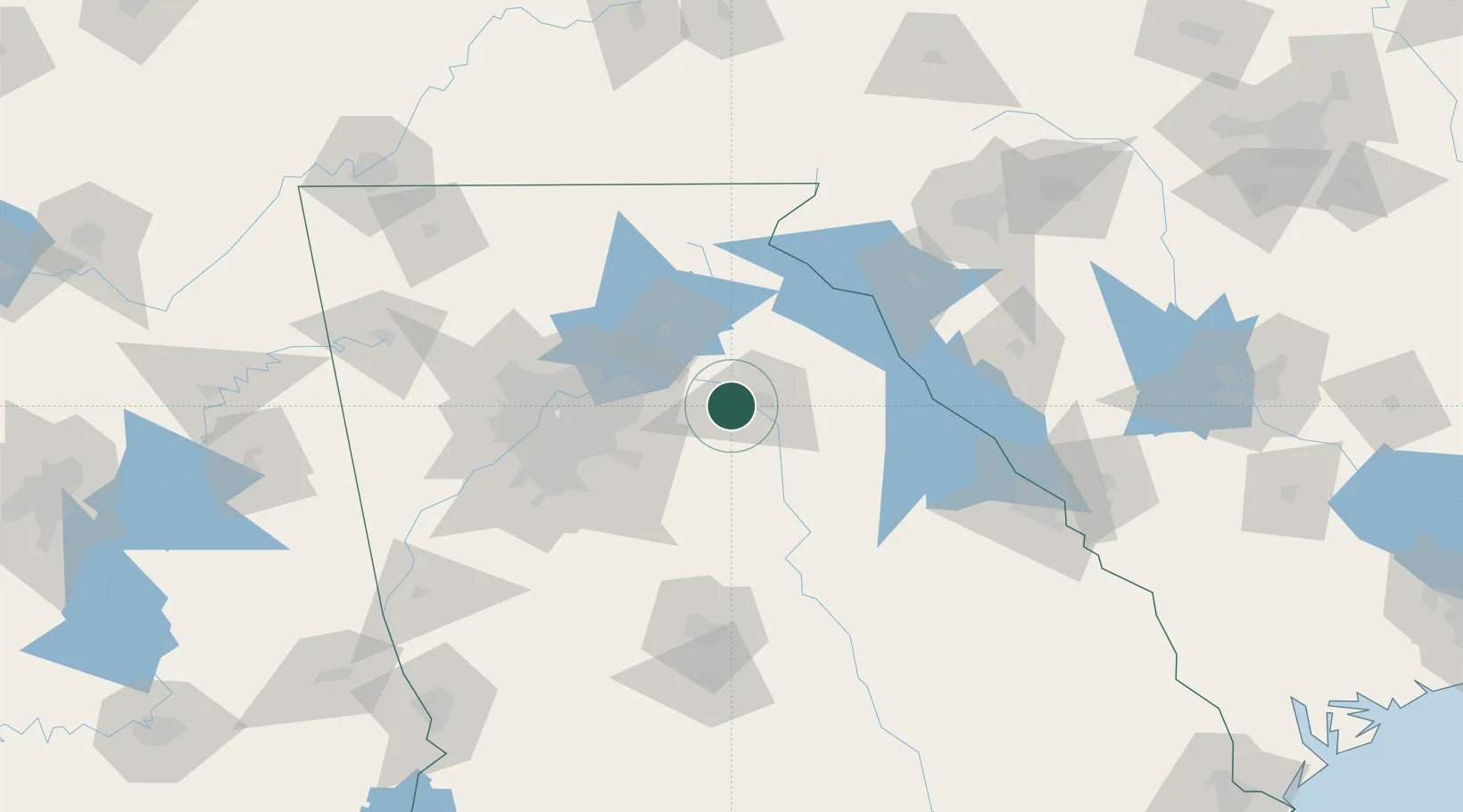
Location
Nearby Logistics Neighbours
Cities
- 1Statham5 km
- 2Bishop16 km
- 3Bethlehem17 km
- 4Jefferson, Jackson21 km
- 5Winterville25 km
Ports
- 1Savannah307 km
- 2Beaufort315 km
- 3Port Royal317 km
- 4Darien347 km
- 5Charleston359 km
Airports
Trade Zones
- 1FTZ No. 026 Atlanta81 km
- 2FTZ No. 038 Spartanburg County159 km
- 3FTZ No. 134 Chattanooga213 km
- 4FTZ No. 127 West Columbia222 km
- 5FTZ No. 148 Knoxville237 km
DatabookThe Record of Consolidated Knowledge
United States beyond logistics?