Transport Functions
Port
Road
Hub Profile
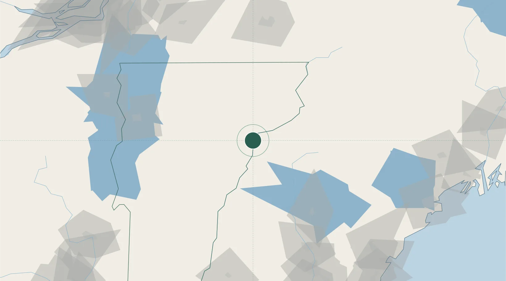
Place type
Populated place
Region
New Hampshire
Population
808
Time zone
America/New_York
Elevation
161 m
Location
Nearby Logistics Neighbours
Cities
- 1Bath12 km
- 2Woodsville13 km
- 3Bethlehem29 km
- 4Barre37 km
- 5Lincoln39 km
Ports
- 1Saco153 km
- 2Portland158 km
- 3Kennebunkport161 km
- 4Portsmouth167 km
- 5South Harpswell173 km
Airports
Trade Zones
- 1FTZ No. 263 Auburn148 km
- 2FTZ No. 268 Brattleboro161 km
- 3FTZ No. 081 Portsmouth164 km
- 4Greater Montreal Free Zone Center184 km
- 5FTZ No. 186 Waterville190 km
DatabookThe Record of Consolidated Knowledge
United States beyond logistics?