UN/LOCODE hub · United States
USWOV
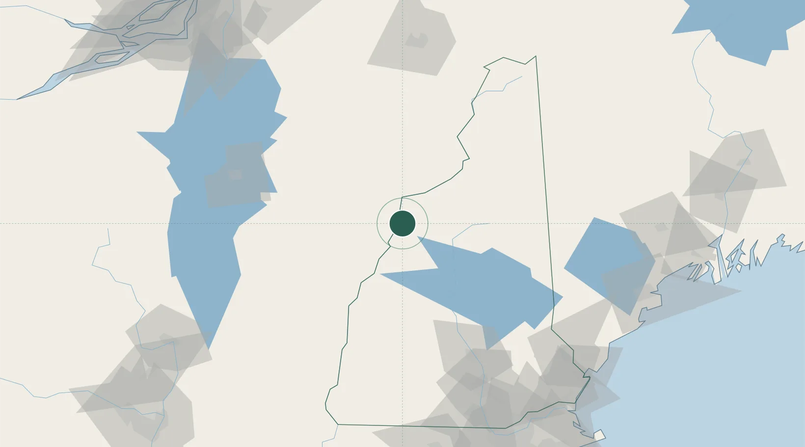
Woodsville
44.1333°, -72.0167°
1,126
Population
4
Transport functions
Transport Functions
Port
Rail
Road
Multimodal
Hub Profile
Place type
Populated place
Region
New Hampshire
Population
1,126
Time zone
America/New_York
Elevation
139 m
Location
Nearby Logistics Neighbours
Cities
- 1Bath7 km
- 2Monroe13 km
- 3North Woodstock30 km
- 4Lincoln30 km
- 5Wentworth31 km
Ports
- 1Saco144 km
- 2Portland151 km
- 3Kennebunkport151 km
- 4Portsmouth155 km
- 5South Harpswell166 km
Airports
Trade Zones
- 1FTZ No. 263 Auburn144 km
- 2FTZ No. 268 Brattleboro149 km
- 3FTZ No. 081 Portsmouth152 km
- 4FTZ No. 186 Waterville190 km
- 5Greater Montreal Free Zone Center196 km
DatabookThe Record of Consolidated Knowledge
United States beyond logistics?