Transport Functions
Road
Multimodal
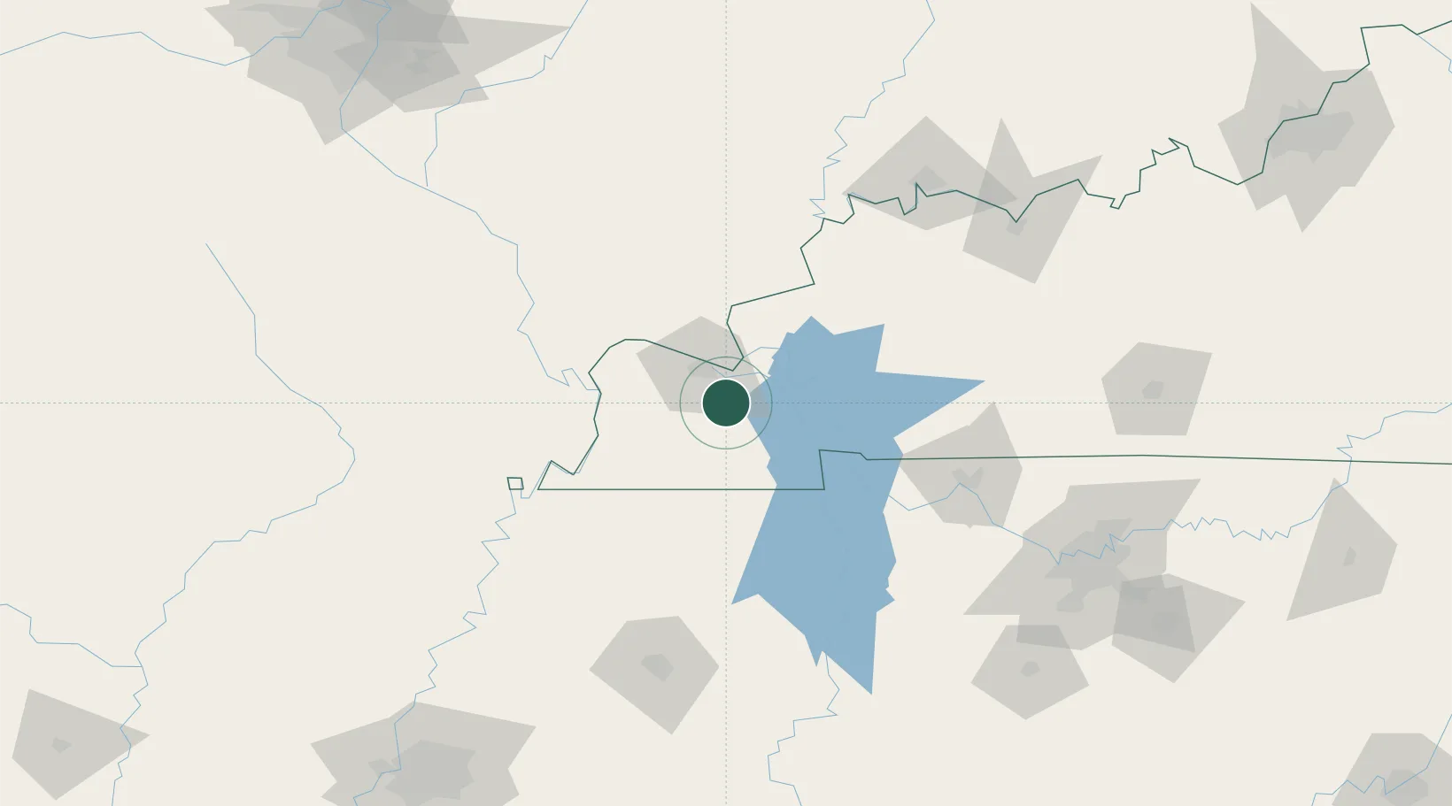
Hub Profile
Place type
Populated place
Region
Kentucky
Population
615
Time zone
America/Chicago
Elevation
124 m
Location
Nearby Logistics Neighbours
Cities
- 1Benton17 km
- 2Paducah18 km
- 3Kansas19 km
- 4Calvert City20 km
- 5Farmington28 km
Ports
- 1Port Of Memphis254 km
- 2Gary532 km
- 3Indiana Harbor536 km
- 4Calumet Harbor542 km
- 5Michigan City553 km
Airports
Trade Zones
- 1FTZ No. 294 Western Kentucky18 km
- 2FTZ No. 177 Evansville144 km
- 3FTZ No. 078 Nashville153 km
- 4FTZ No. 283 West Tennessee166 km
- 5FTZ No. 223 Memphis245 km
DatabookThe Record of Consolidated Knowledge
United States beyond logistics?