UN/LOCODE hub · United States
USCCT
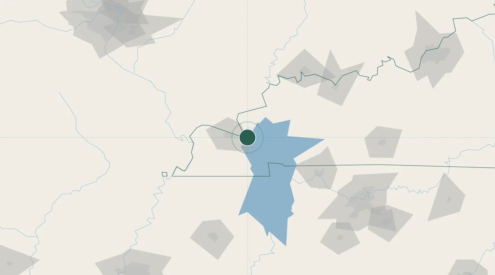
Calvert City
37.0474°, -88.3600°
2,532
Population
1
Transport functions
Transport Functions
Port
Hub Profile
Place type
Populated place
Region
Kentucky
Population
2,532
Time zone
America/Chicago
Elevation
104 m
Logistics facilities
1
Location
Nearby Logistics Neighbours
Ports
- 1Port Of Memphis274 km
- 2Gary516 km
- 3Indiana Harbor520 km
- 4Calumet Harbor526 km
- 5Michigan City536 km
Airports
Trade Zones
- 1FTZ No. 294 Western Kentucky20 km
- 2FTZ No. 177 Evansville124 km
- 3FTZ No. 078 Nashville150 km
- 4FTZ No. 283 West Tennessee186 km
- 5FTZ No. 031 Granite City248 km
DatabookThe Record of Consolidated Knowledge
United States beyond logistics?