UN/LOCODE hub · United States
USED8

East Durham

42.3667°, -74.0833°
1
Transport functions

Transport Functions

Multimodal
UN/LOCODE

Hub Profile

Place type
Populated place
GeoNames
Region
New York
GeoNames
Time zone
America/New_York
GeoNames
Elevation
163 m
GeoNames

Location

Location of USED8
Natural Earth 10m (public domain) · New York · USED8 · 42.37, -74.08GoogleOSMYandex

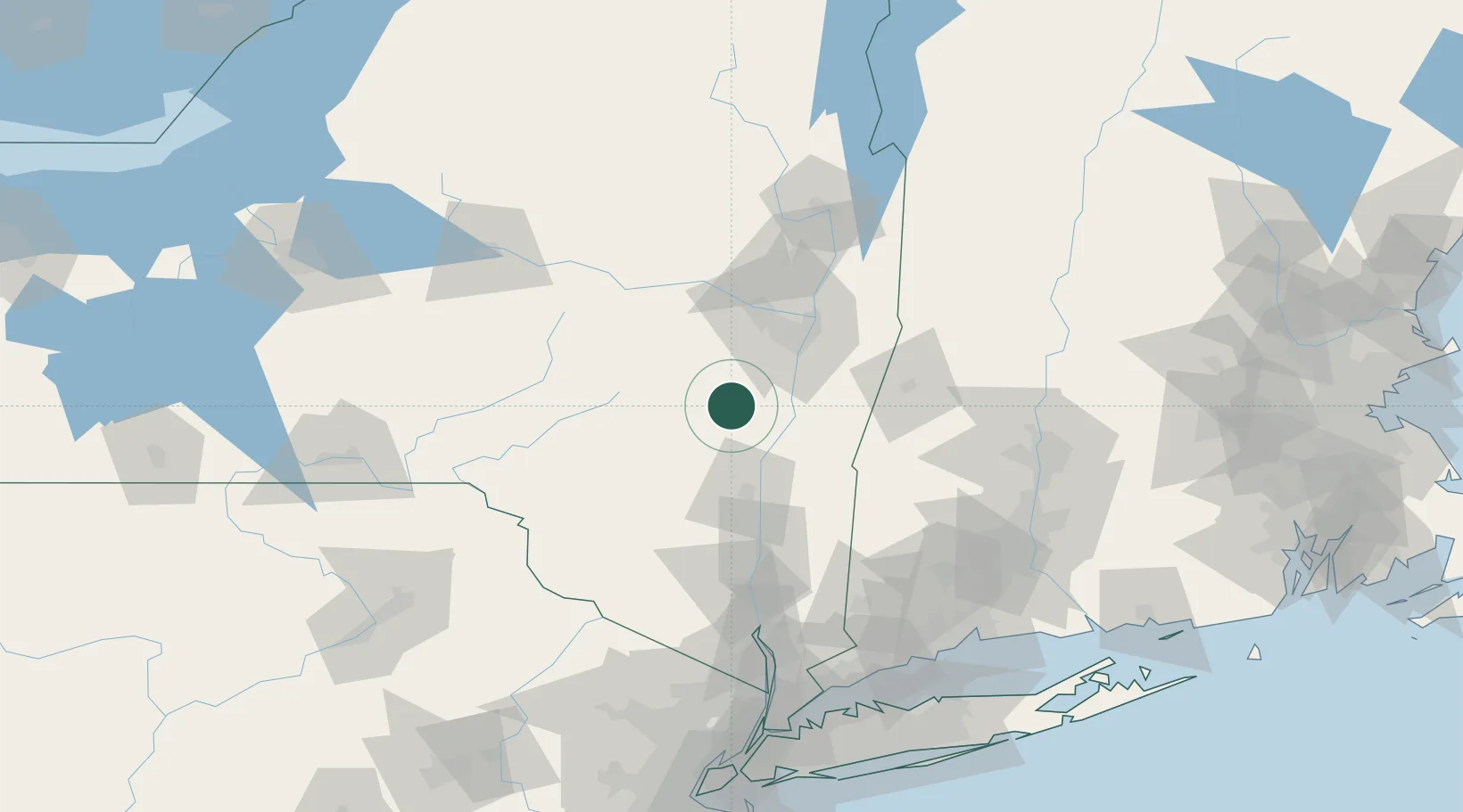
Nearby Logistics Neighbours

Cities
  1. 1Westerlo15 km
  2. 2Coxsackie, Greene23 km
  3. 3Ravena25 km
  4. 4South Bethlehem26 km
  5. 5Schodack Landing28 km
Nearest neighbours — logibook spatial index (haversine) over the source coordinates
Ports
  1. 1Catskill25 km
  2. 2Albany42 km
  3. 3Rensselaer42 km
  4. 4Kingston49 km
  5. 5Troy52 km
Nearest neighbours — logibook spatial index (haversine) over the source coordinates
Airports
  1. 1Albany International Airport48 km
  2. 2Schenectady County Airport56 km
  3. 3Dutchess County Airport84 km
  4. 4New York Stewart International Airport96 km
  5. 5Westfield-Barnes Regional Airport115 km
Nearest neighbours — logibook spatial index (haversine) over the source coordinates
Trade Zones
  1. 1FTZ No. 121 Albany45 km
  2. 2FTZ No. 201 Holyoke114 km
  3. 3FTZ No. 037 Orange County129 km
  4. 4FTZ No. 071 Windsor Locks129 km
  5. 5FTZ No. 268 Brattleboro133 km
Nearest neighbours — logibook spatial index (haversine) over the source coordinates
DatabookThe Record of Consolidated Knowledge
United States beyond logistics?
Browse databook

All Sources

LocationsUN/LOCODE
UN/LOCODE — free
Portsthe NGA World Port Index
Public domain (US gov)
AirportsOurAirports
Public domain
Trade Zonesthe World Bank SEZ database
CC BY 4.0
Trade ZonesOpen Zone Map
CC BY
← United States locations