UN/LOCODE hub · United States
USRSK
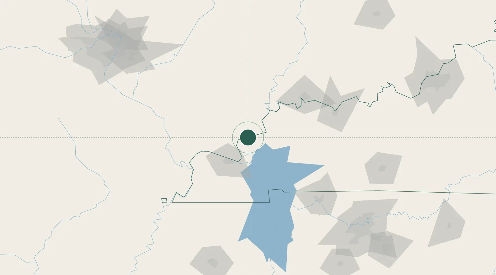
Rosiclare
37.4167°, -88.3500°
1,082
Population
3
Transport functions
Transport Functions
Port
Road
Multimodal
Hub Profile
Place type
Populated place
Region
Illinois
Population
1,082
Time zone
America/Chicago
Elevation
108 m
Location
Nearby Logistics Neighbours
Cities
- 1Sturgis35 km
- 2Fredonia36 km
- 3Carrier Mills38 km
- 4Calvert City41 km
- 5Eddyville45 km
Ports
- 1Port Of Memphis308 km
- 2Gary475 km
- 3Indiana Harbor479 km
- 4Calumet Harbor485 km
- 5Michigan City496 km
Airports
Trade Zones
- 1FTZ No. 294 Western Kentucky44 km
- 2FTZ No. 177 Evansville91 km
- 3FTZ No. 078 Nashville178 km
- 4FTZ No. 031 Granite City219 km
- 5FTZ No. 283 West Tennessee220 km
DatabookThe Record of Consolidated Knowledge
United States beyond logistics?