UN/LOCODE hub · United States
USXYZ
Sawmills
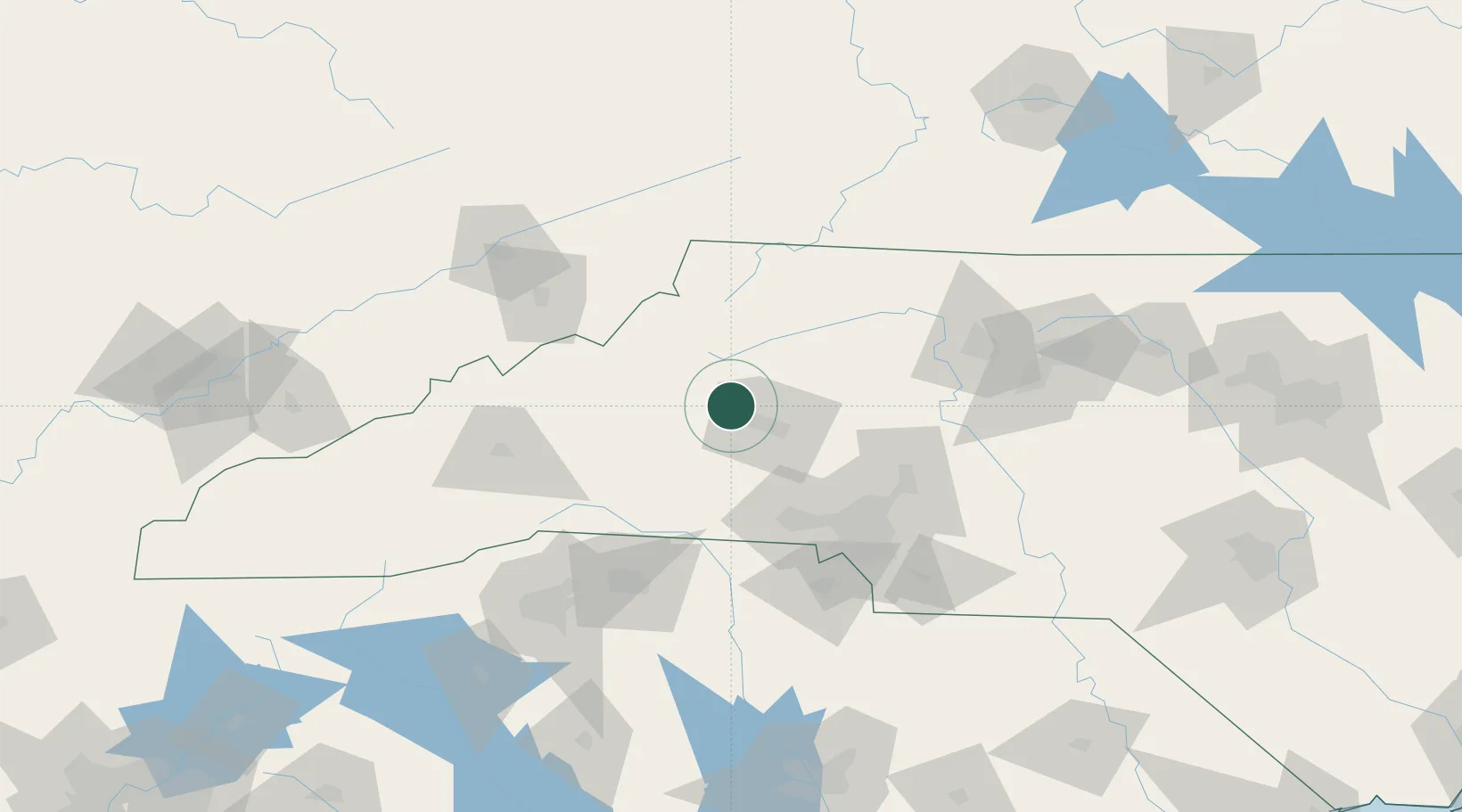
35.8167°, -81.4667°
5,104
Population
2
Transport functions
Transport Functions
Rail
Road
Hub Profile
Place type
Populated place
Region
North Carolina
Population
5,104
Time zone
America/New_York
Elevation
376 m
Location
Nearby Logistics Neighbours
Cities
- 1Connelly Springs10 km
- 2Connellys Springs10 km
- 3Icard11 km
- 4Nebo, McDowell44 km
- 5Deep Gap46 km
Ports
- 1Georgetown338 km
- 2Wilmington365 km
- 3Charleston366 km
- 4Wrightsville377 km
- 5Southport379 km
Airports
Trade Zones
- 1FTZ No. 057 Mecklenburg County71 km
- 2FTZ No. 204 Tri-Cities112 km
- 3FTZ No. 038 Spartanburg County125 km
- 4FTZ No. 230 Piedmont Triad Area126 km
- 5FTZ No. 238 Dublin158 km
DatabookThe Record of Consolidated Knowledge
United States beyond logistics?