Transport Functions
Road
Multimodal
Hub Profile
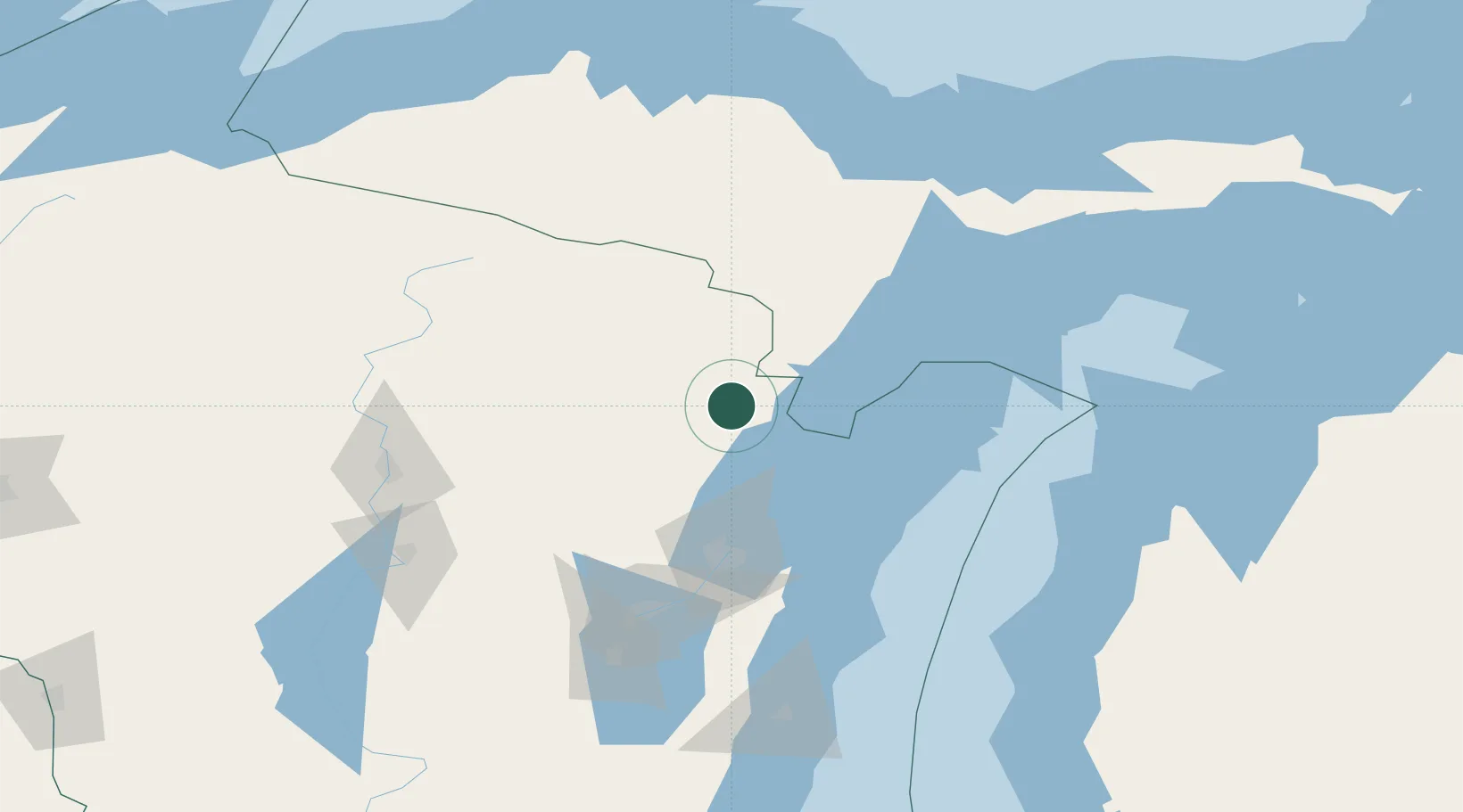
Place type
Populated place
Region
Wisconsin
Population
965
Time zone
America/Chicago
Elevation
207 m
Location
Nearby Logistics Neighbours
Cities
- 1Pound15 km
- 2Coleman21 km
- 3Stephenson36 km
- 4Mountain37 km
- 5Goodman52 km
Ports
- 1Marinette36 km
- 2Menominee36 km
- 3Oconto40 km
- 4Sturgeon Bay66 km
- 5Green Bay80 km
Airports
Trade Zones
- 1FTZ No. 167 Brown County89 km
- 2FTZ No. 019 Omaha237 km
- 3FTZ No. 041 Milwaukee242 km
- 4FTZ No. 189 Kent Ottawa/Muskegon Counties260 km
- 5FTZ No. 266 Dane County276 km
DatabookThe Record of Consolidated Knowledge
United States beyond logistics?