Transport Functions
Port
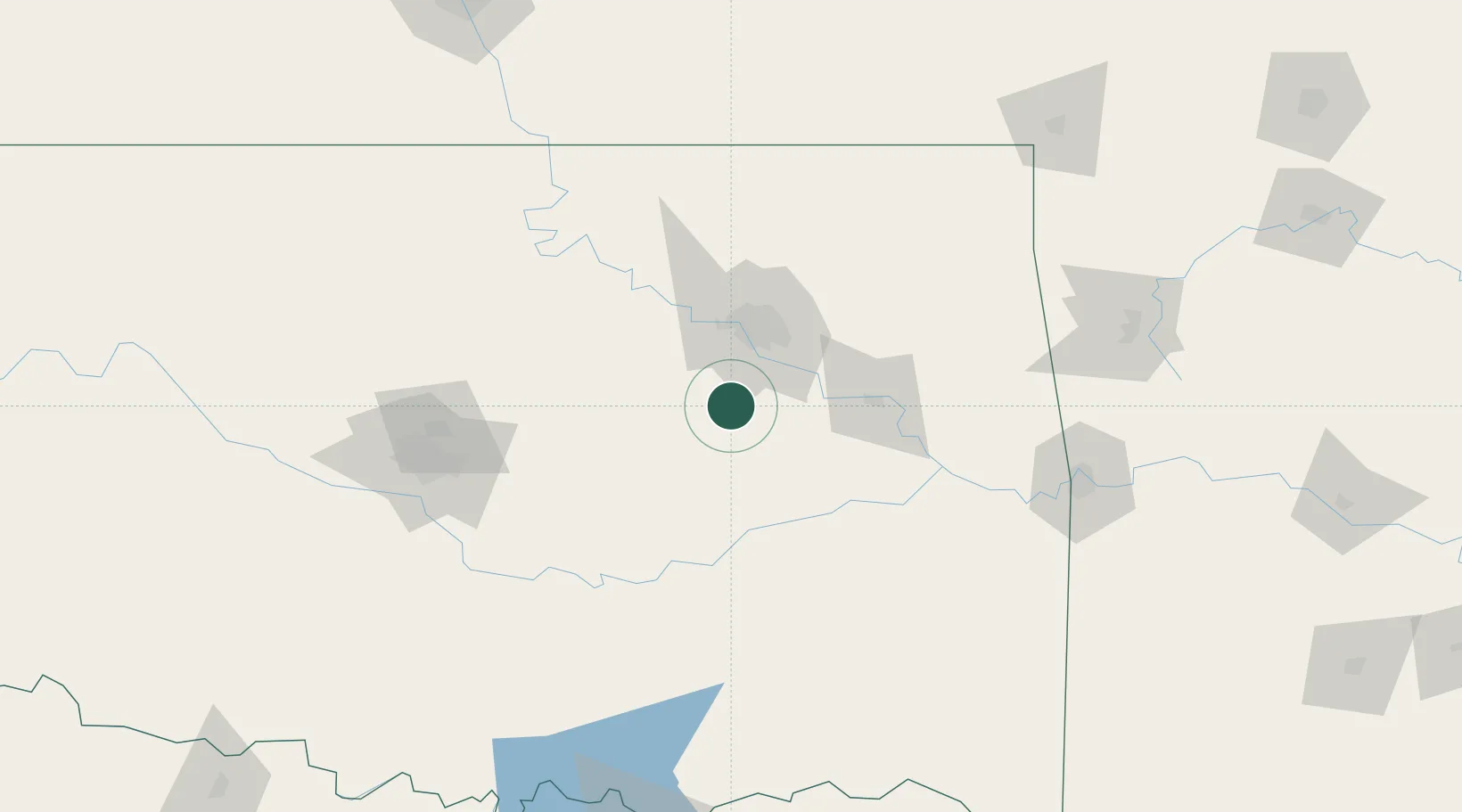
Hub Profile
Place type
Populated place
Region
Oklahoma
Population
1,247
Time zone
America/Chicago
Elevation
225 m
Location
Nearby Logistics Neighbours
Ports
- 1Port Of Memphis540 km
- 2Beaumont657 km
- 3Orange667 km
- 4Lake Charles669 km
- 5Port Neches669 km
Airports
- 1Tulsa Riverside Airport33 km
- 2Tulsa International Airport52 km
- 3Mc Alester Regional Airport100 km
- 4Stillwater Regional Airport103 km
- 5Ada Regional Airport119 km
Trade Zones
- 1FTZ No. 164 Muskogee57 km
- 2FTZ No. 053 Rogers County68 km
- 3FTZ No. 106 Oklahoma City135 km
- 4FTZ No. 227 Durant196 km
- 5FTZ No. 161 Sedgwick County264 km
DatabookThe Record of Consolidated Knowledge
United States beyond logistics?