Transport Functions
Rail
Road
Hub Profile
Place type
Populated place
Region
North Carolina
Time zone
America/New_York
Elevation
181 m
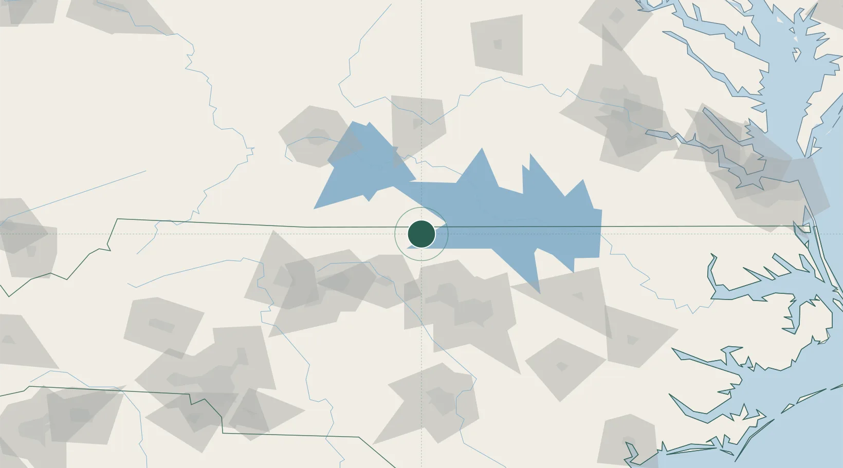
Location
Nearby Logistics Neighbours
Cities
- 1Alton15 km
- 2Sutherlin16 km
- 3Cedar Grove35 km
- 4Halifax37 km
- 5Dry Fork, Pittsylvania38 km
Ports
- 1Richmond192 km
- 2Washington214 km
- 3Plymouth225 km
- 4Edenton231 km
- 5West Point238 km
Airports
Trade Zones
- 1FTZ No. 093 Raleigh Durham67 km
- 2FTZ No. 230 Piedmont Triad Area97 km
- 3FTZ No. 238 Dublin155 km
- 4FTZ No. 214 Lenoir County180 km
- 5FTZ No. 207 Richmond181 km
DatabookThe Record of Consolidated Knowledge
United States beyond logistics?