Transport Functions
Rail
Road
Multimodal
Hub Profile
Place type
Populated place
Region
Virginia
Time zone
America/New_York
Elevation
179 m
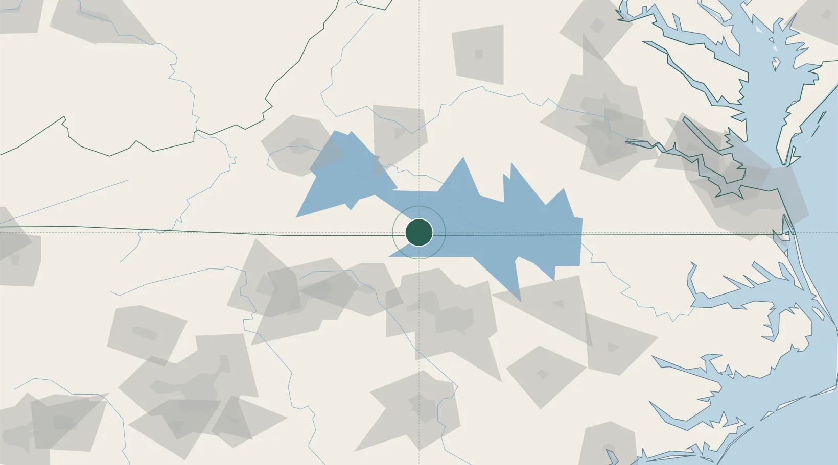
Location
Nearby Logistics Neighbours
Cities
- 1Semora15 km
- 2Sutherlin17 km
- 3Halifax23 km
- 4Crystal Hill33 km
- 5Clover, Halifax38 km
Ports
- 1Richmond177 km
- 2Washington209 km
- 3Plymouth216 km
- 4Edenton221 km
- 5West Point223 km
Airports
Trade Zones
- 1FTZ No. 093 Raleigh Durham74 km
- 2FTZ No. 230 Piedmont Triad Area111 km
- 3FTZ No. 238 Dublin162 km
- 4FTZ No. 207 Richmond166 km
- 5FTZ No. 214 Lenoir County180 km
DatabookThe Record of Consolidated Knowledge
United States beyond logistics?