Transport Functions
Port
Rail
Road
Multimodal
Hub Profile
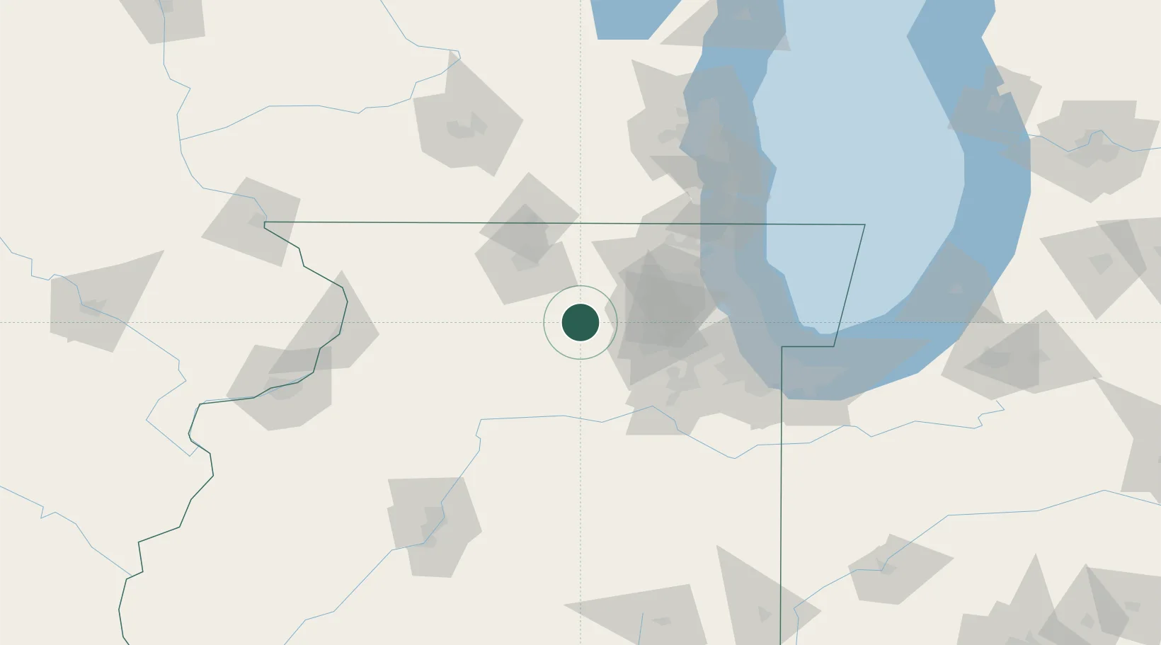
Place type
Populated place
Region
Illinois
Population
43,211
Time zone
America/Chicago
Elevation
268 m
Logistics facilities
2
Location
Nearby Logistics Neighbours
Ports
- 1Great Lakes86 km
- 2Wilmette89 km
- 3Waukegan91 km
- 4Chicago94 km
- 5Calumet Harbor103 km
Airports
Trade Zones
DatabookThe Record of Consolidated Knowledge
United States beyond logistics?