UN/LOCODE hub · United States
USTND
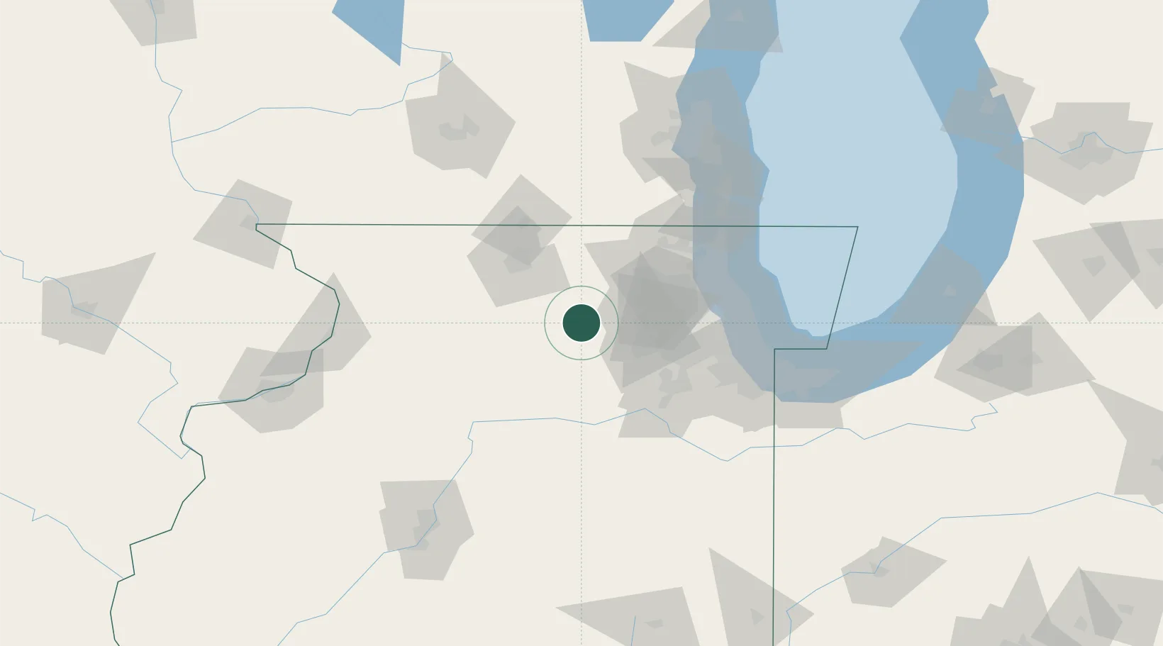
Cortland
41.9167°, -88.6833°
4,325
Population
2
Transport functions
Transport Functions
Road
Multimodal
Hub Profile
Place type
Populated place
Region
Illinois
Population
4,325
Time zone
America/Chicago
Elevation
275 m
Location
Nearby Logistics Neighbours
Ports
- 1Great Lakes82 km
- 2Wilmette85 km
- 3Waukegan87 km
- 4Chicago90 km
- 5Calumet Harbor99 km
Airports
Trade Zones
- 1FTZ No. 176 Rockford57 km
- 2FTZ No. 022 Chicago68 km
- 3FTZ No. 292 Lake County80 km
- 4FTZ No. 152 Burns Harbor131 km
- 5FTZ No. 041 Milwaukee135 km
DatabookThe Record of Consolidated Knowledge
United States beyond logistics?