Transport Functions
Rail
Road
Hub Profile
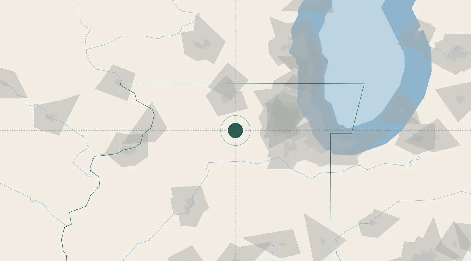
Place type
Populated place
Region
Illinois
Population
327
Time zone
America/Chicago
Elevation
286 m
Location
Nearby Logistics Neighbours
Cities
- 1DeKalb20 km
- 2Cortland24 km
- 3Clare26 km
- 4Lindenwood29 km
- 5Holcomb30 km
Ports
- 1Great Lakes107 km
- 2Wilmette108 km
- 3Chicago111 km
- 4Waukegan112 km
- 5Calumet Harbor118 km
Airports
Trade Zones
- 1FTZ No. 176 Rockford55 km
- 2FTZ No. 022 Chicago88 km
- 3FTZ No. 292 Lake County104 km
- 4FTZ No. 271 Jo-Daviess and Carroll Counties122 km
- 5FTZ No. 114 Peoria135 km
DatabookThe Record of Consolidated Knowledge
United States beyond logistics?