UN/LOCODE hub · United States
USVRG

Virgil

41.9500°, -88.5333°
337
Population
3
Transport functions

Transport Functions

Rail
Road
Multimodal
UN/LOCODE

Hub Profile

Place type
Populated place
GeoNames
Region
Illinois
GeoNames
Population
337
GeoNames
Time zone
America/Chicago
GeoNames
Elevation
265 m
GeoNames

Location

Location of USVRG
Natural Earth 10m (public domain) · Illinois · USVRG · 41.95, -88.53GoogleOSMYandex

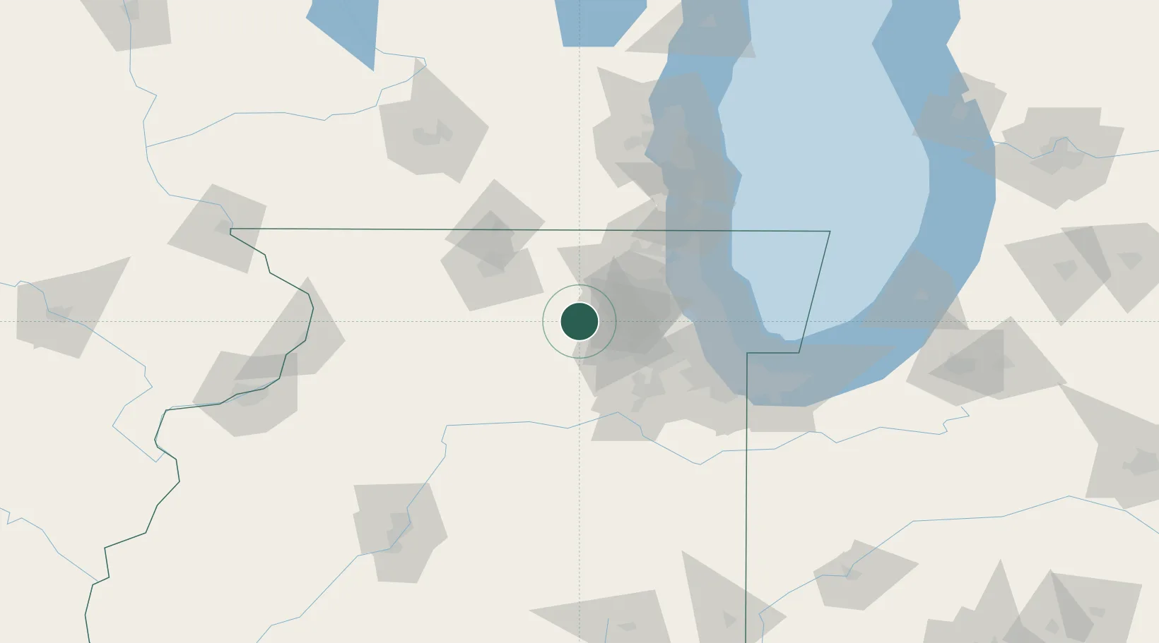
Nearby Logistics Neighbours

Cities
  1. 1Elburn10 km
  2. 2Cortland13 km
  3. 3DeKalb17 km
  4. 4South Elgin20 km
  5. 5Gilberts22 km
Nearest neighbours — logibook spatial index (haversine) over the source coordinates
Ports
  1. 1Great Lakes70 km
  2. 2Wilmette72 km
  3. 3Waukegan75 km
  4. 4Chicago78 km
  5. 5Calumet Harbor88 km
Nearest neighbours — logibook spatial index (haversine) over the source coordinates
Airports
  1. 1Dupage Airport24 km
  2. 2Chicago O'Hare International Airport52 km
  3. 3Chicago Rockford International Airport54 km
  4. 4Chicago Executive Airport55 km
  5. 5Chicago Midway International Airport67 km
Nearest neighbours — logibook spatial index (haversine) over the source coordinates
Trade Zones
  1. 1FTZ No. 022 Chicago56 km
  2. 2FTZ No. 176 Rockford65 km
  3. 3FTZ No. 292 Lake County67 km
  4. 4FTZ No. 152 Burns Harbor120 km
  5. 5FTZ No. 041 Milwaukee128 km
Nearest neighbours — logibook spatial index (haversine) over the source coordinates
DatabookThe Record of Consolidated Knowledge
United States beyond logistics?
Browse databook

All Sources

LocationsUN/LOCODE
UN/LOCODE — free
LocationsGeoNames
CC BY 4.0
Portsthe NGA World Port Index
Public domain (US gov)
AirportsOurAirports
Public domain
Trade Zonesthe World Bank SEZ database
CC BY 4.0
Trade ZonesOpen Zone Map
CC BY
← United States locations