Transport Functions
Rail
Road
Multimodal
Hub Profile
Place type
Populated place
Region
Texas
Population
3,664
Time zone
America/Chicago
Elevation
446 m
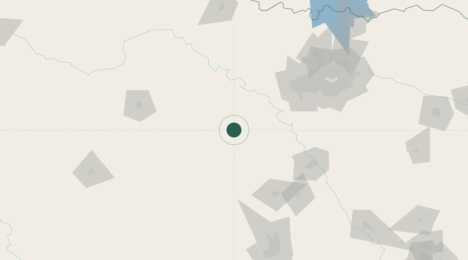
Location
Nearby Logistics Neighbours
Cities
- 1De Leon19 km
- 2DeLeon19 km
- 3Fairview68 km
- 4Goldthwaite76 km
- 5Palo Pinto76 km
Ports
- 1Deer Park386 km
- 2Houston390 km
- 3Pasadena397 km
- 4Baytown410 km
- 5Port Lavaca419 km
Airports
Trade Zones
- 1FTZ No. 039 Dallas Fort Worth77 km
- 2FTZ No. 168 Dallas Fort Worth106 km
- 3FTZ No. 196 Fort Worth107 km
- 4FTZ No. 246 Waco118 km
- 5FTZ No. 113 Ellis County126 km
DatabookThe Record of Consolidated Knowledge
United States beyond logistics?