Transport Functions
Port
Rail
Road
Multimodal
Hub Profile
Place type
Provincial seat
Region
Mississippi
Population
981
Time zone
America/Chicago
Elevation
60 m
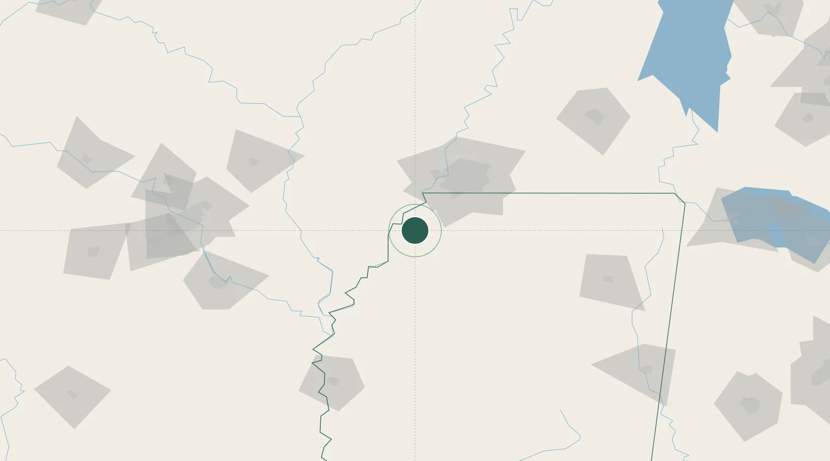
Location
Nearby Logistics Neighbours
Ports
- 1Port Of Memphis46 km
- 2Madisonville477 km
- 3Baton Rouge477 km
- 4Mobile492 km
- 5Slidell494 km
Airports
Trade Zones
- 1FTZ No. 287 Tunica County28 km
- 2FTZ No. 262 Southaven42 km
- 3FTZ No. 077 Memphis51 km
- 4FTZ No. 273 West Memphis54 km
- 5FTZ No. 223 Memphis55 km
DatabookThe Record of Consolidated Knowledge
United States beyond logistics?