Transport Functions
Rail
Road
Hub Profile
Place type
Populated place
Region
Arkansas
Population
373
Time zone
America/Chicago
Elevation
319 m
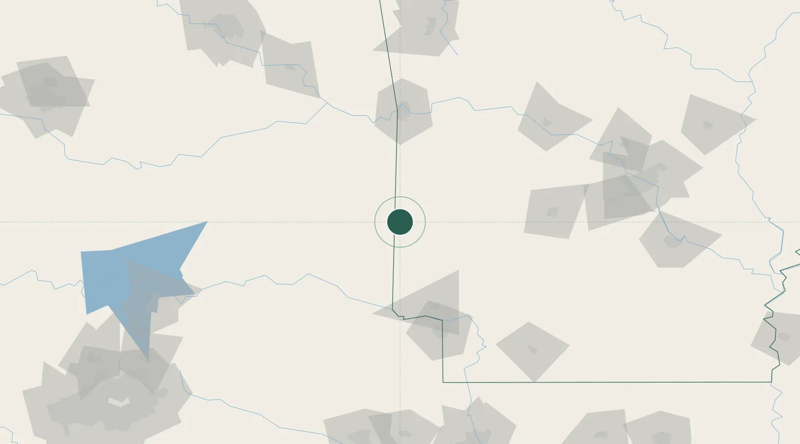
Location
Nearby Logistics Neighbours
Cities
- 1Mena24 km
- 2Gillham29 km
- 3Broken Bow52 km
- 4Howe63 km
- 5Norman68 km
Ports
- 1Port Of Memphis395 km
- 2Lake Charles480 km
- 3Beaumont483 km
- 4Orange486 km
- 5Port Neches493 km
Airports
- 1Fort Smith Regional Airport102 km
- 2Texarkana Regional Airport (Webb Field)114 km
- 3Memorial Field Airport121 km
- 4Cox Field129 km
- 5Mc Alester Regional Airport135 km
Trade Zones
- 1FTZ No. 258 Bowie County107 km
- 2FTZ No. 164 Muskogee173 km
- 3FTZ No. 227 Durant187 km
- 4FTZ No. 014 Little Rock206 km
- 5FTZ No. 234 Gregg County217 km
DatabookThe Record of Consolidated Knowledge
United States beyond logistics?