UN/LOCODE hub · United States
USBB3
Broken Bow
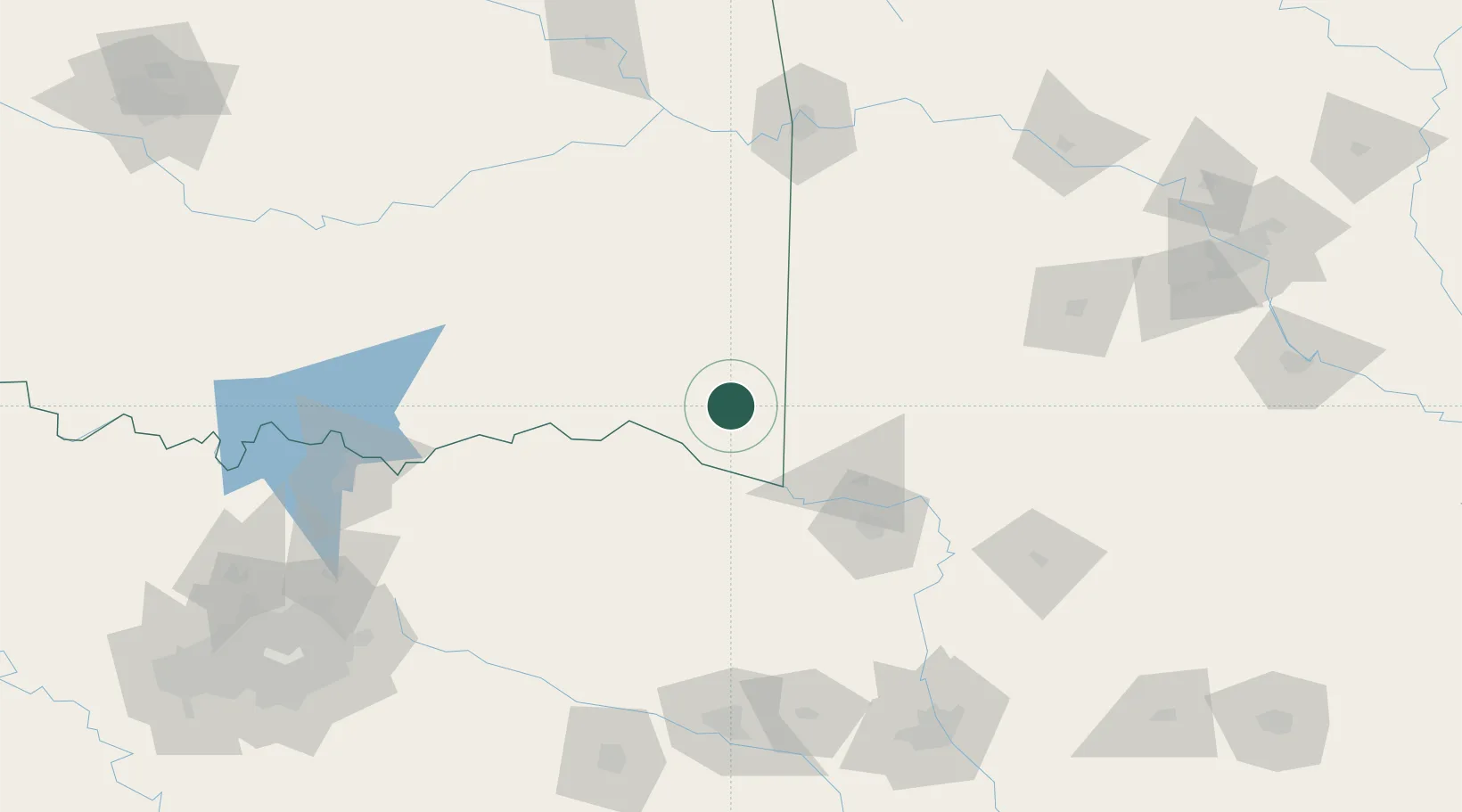
34.0333°, -94.7333°
4,131
Population
2
Transport functions
Transport Functions
Rail
Road
Hub Profile
Place type
Populated place
Region
Oklahoma
Population
4,131
Time zone
America/Chicago
Elevation
143 m
Location
Nearby Logistics Neighbours
Ports
- 1Port Of Memphis434 km
- 2Beaumont444 km
- 3Lake Charles447 km
- 4Orange449 km
- 5Port Neches455 km
Airports
Trade Zones
- 1FTZ No. 258 Bowie County62 km
- 2FTZ No. 227 Durant153 km
- 3FTZ No. 234 Gregg County170 km
- 4FTZ No. 145 Shreveport189 km
- 5FTZ No. 146 Lawrence County189 km
DatabookThe Record of Consolidated Knowledge
United States beyond logistics?