Transport Functions
Rail
Road
Hub Profile
Place type
Populated place
Region
Arkansas
Population
162
Time zone
America/Chicago
Elevation
231 m
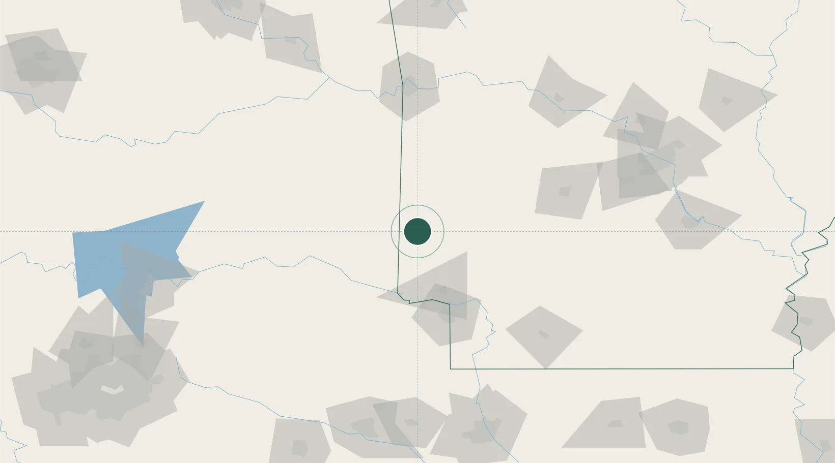
Location
Nearby Logistics Neighbours
Cities
- 1Cove29 km
- 2Broken Bow41 km
- 3Mena47 km
- 4Nashville52 km
- 5Idabel56 km
Ports
- 1Port Of Memphis393 km
- 2Lake Charles451 km
- 3Beaumont455 km
- 4Orange457 km
- 5Port Neches465 km
Airports
- 1Texarkana Regional Airport (Webb Field)85 km
- 2Memorial Field Airport117 km
- 3Cox Field120 km
- 4Fort Smith Regional Airport130 km
- 5Mc Alester Regional Airport156 km
Trade Zones
- 1FTZ No. 258 Bowie County84 km
- 2FTZ No. 227 Durant192 km
- 3FTZ No. 234 Gregg County192 km
- 4FTZ No. 145 Shreveport193 km
- 5FTZ No. 146 Lawrence County193 km
DatabookThe Record of Consolidated Knowledge
United States beyond logistics?