Transport Functions
Rail
Road
Hub Profile
Place type
Populated place
Region
Arkansas
Population
359
Time zone
America/Chicago
Elevation
211 m
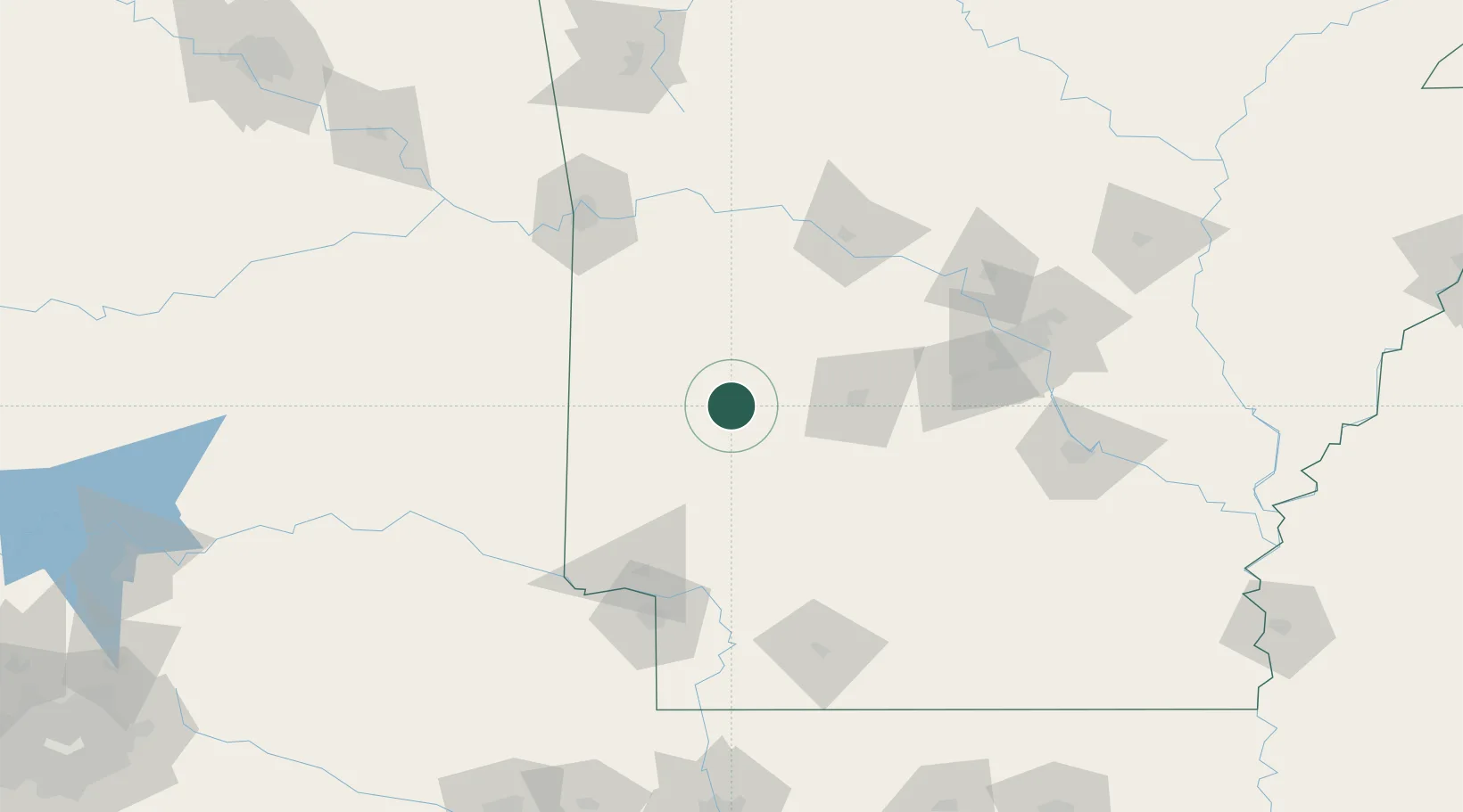
Location
Nearby Logistics Neighbours
Cities
- 1Glenwood20 km
- 2Pearcy37 km
- 3Royal41 km
- 4Clear Lake45 km
- 5Bismarck51 km
Ports
- 1Port Of Memphis328 km
- 2Lake Charles474 km
- 3Orange487 km
- 4Beaumont489 km
- 5Port Neches497 km
Airports
Trade Zones
- 1FTZ No. 014 Little Rock139 km
- 2FTZ No. 258 Bowie County143 km
- 3FTZ No. 164 Muskogee213 km
- 4FTZ No. 145 Shreveport224 km
- 5FTZ No. 146 Lawrence County224 km
DatabookThe Record of Consolidated Knowledge
United States beyond logistics?