Transport Functions
Rail
Road
Multimodal
Hub Profile
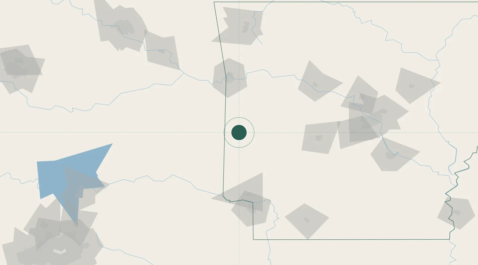
Place type
Provincial seat
Region
Arkansas
Population
5,653
Time zone
America/Chicago
Elevation
357 m
Location
Nearby Logistics Neighbours
Ports
- 1Port Of Memphis377 km
- 2Lake Charles495 km
- 3Beaumont501 km
- 4Orange503 km
- 5Port Neches510 km
Airports
- 1Fort Smith Regional Airport84 km
- 2Memorial Field Airport106 km
- 3Texarkana Regional Airport (Webb Field)128 km
- 4Mc Alester Regional Airport144 km
- 5Cox Field153 km
Trade Zones
- 1FTZ No. 258 Bowie County129 km
- 2FTZ No. 164 Muskogee167 km
- 3FTZ No. 014 Little Rock189 km
- 4FTZ No. 227 Durant207 km
- 5FTZ No. 145 Shreveport238 km
DatabookThe Record of Consolidated Knowledge
United States beyond logistics?