Transport Functions
Road
Multimodal
Hub Profile
Place type
Populated place
Region
Minnesota
Population
755
Time zone
America/Chicago
Elevation
352 m
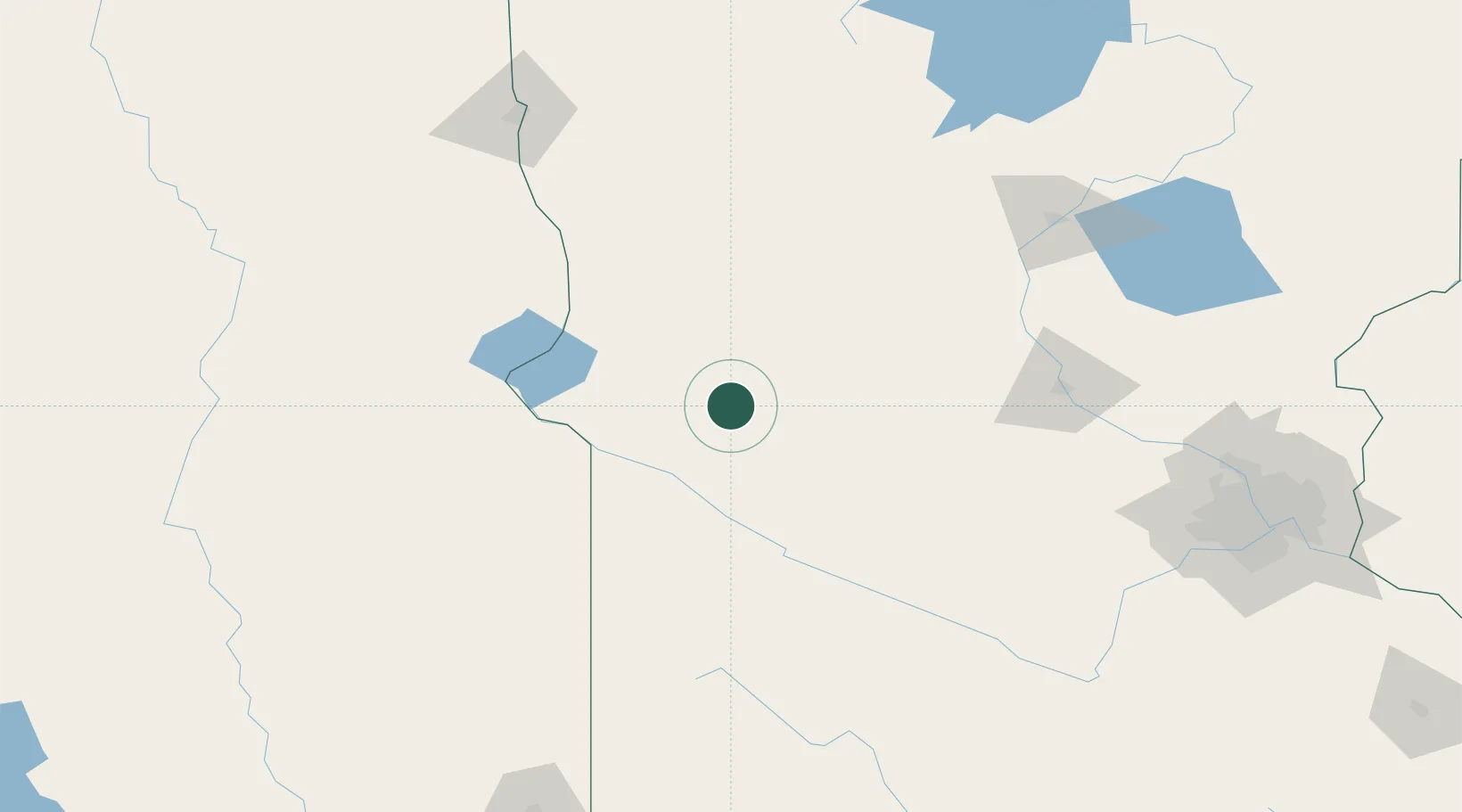
Location
Nearby Logistics Neighbours
Cities
- 1Danvers24 km
- 2Odessa49 km
- 3Clinton51 km
- 4Brandon56 km
- 5Big Stone City57 km
Ports
- 1Duluth318 km
- 2Superior318 km
- 3Two Harbors361 km
- 4Ashland399 km
- 5Washburn400 km
Airports
- 1Chandler Field52 km
- 2Redwood Falls Municipal Airport118 km
- 3Watertown Regional Airport125 km
- 4Hutchinson Health Heliport130 km
- 5Saint Cloud Regional Airport135 km
Trade Zones
- 1FTZ No. 267 Fargo178 km
- 2FTZ No. 119 Minneapolis-St. Paul208 km
- 3FTZ No. 220 Sioux Falls229 km
- 4FTZ No. 288 Northwest Iowa259 km
- 5FTZ No. 103 Grand Forks290 km
DatabookThe Record of Consolidated Knowledge
United States beyond logistics?