Transport Functions
Rail
Road
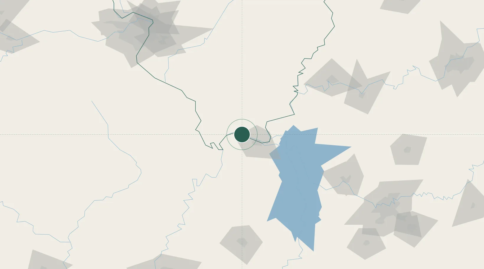
Hub Profile
Place type
Populated place
Region
Illinois
Population
347
Time zone
America/Chicago
Elevation
108 m
Location
Nearby Logistics Neighbours
Ports
- 1Port Of Memphis265 km
- 2Gary508 km
- 3Indiana Harbor511 km
- 4Calumet Harbor517 km
- 5Michigan City531 km
Airports
Trade Zones
- 1FTZ No. 294 Western Kentucky28 km
- 2FTZ No. 177 Evansville140 km
- 3FTZ No. 283 West Tennessee177 km
- 4FTZ No. 078 Nashville195 km
- 5FTZ No. 031 Granite City208 km
DatabookThe Record of Consolidated Knowledge
United States beyond logistics?