Transport Functions
Rail
Road
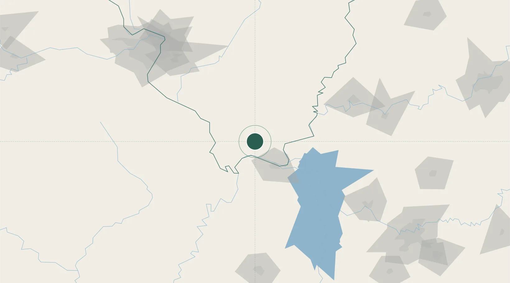
Hub Profile
Place type
Provincial seat
Region
Illinois
Population
1,647
Time zone
America/Chicago
Elevation
123 m
Location
Nearby Logistics Neighbours
Cities
- 1Joppa25 km
- 2Tamms38 km
- 3Carrier Mills39 km
- 4Pomona45 km
- 5Paducah47 km
Ports
- 1Port Of Memphis285 km
- 2Gary486 km
- 3Indiana Harbor489 km
- 4Calumet Harbor494 km
- 5Chicago509 km
Airports
Trade Zones
- 1FTZ No. 294 Western Kentucky48 km
- 2FTZ No. 177 Evansville130 km
- 3FTZ No. 031 Granite City186 km
- 4FTZ No. 283 West Tennessee198 km
- 5FTZ No. 102 St. Louis County209 km
DatabookThe Record of Consolidated Knowledge
United States beyond logistics?