Transport Functions
Road
Multimodal
Hub Profile
Place type
Provincial seat
Region
Tennessee
Population
1,494
Time zone
America/Chicago
Elevation
169 m
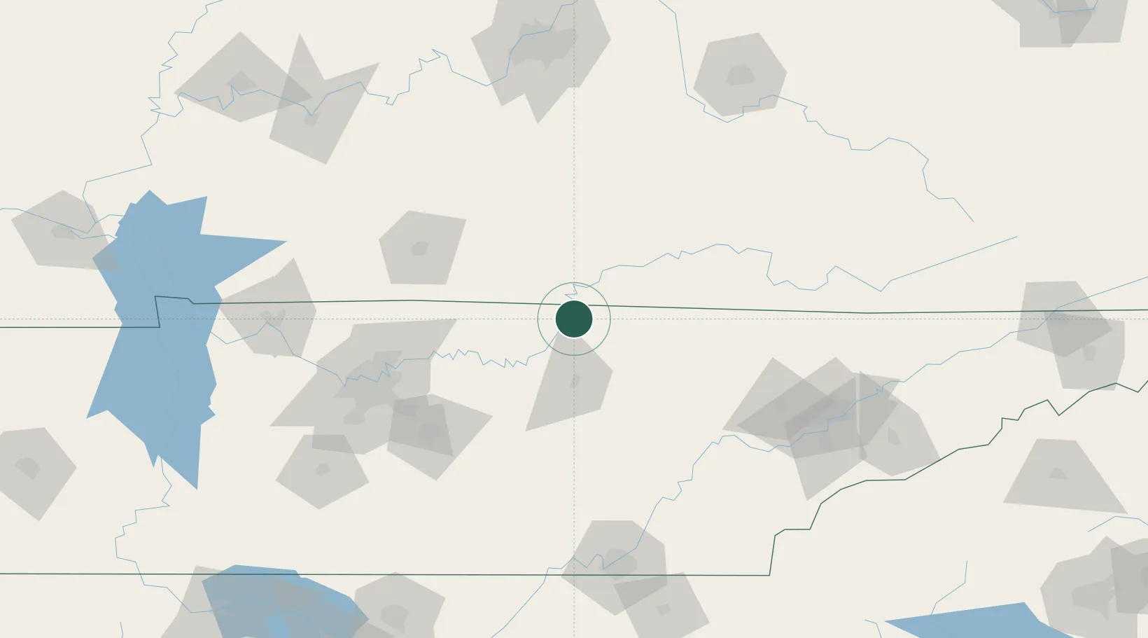
Location
Nearby Logistics Neighbours
Cities
- 1Hestand14 km
- 2Burkesville29 km
- 3Red Boiling Springs30 km
- 4Byrdstown36 km
- 5Summer Shade41 km
Ports
- 1Gary585 km
- 2Michigan City589 km
- 3Indiana Harbor592 km
- 4Port Clinton596 km
- 5Sandusky596 km
Airports
Trade Zones
- 1FTZ No. 148 Knoxville132 km
- 2FTZ No. 078 Nashville144 km
- 3FTZ No. 134 Chattanooga162 km
- 4FTZ No. 029 Louisville193 km
- 5FTZ No. 083 Huntsville240 km
DatabookThe Record of Consolidated Knowledge
United States beyond logistics?