Transport Functions
Road
Multimodal
Hub Profile
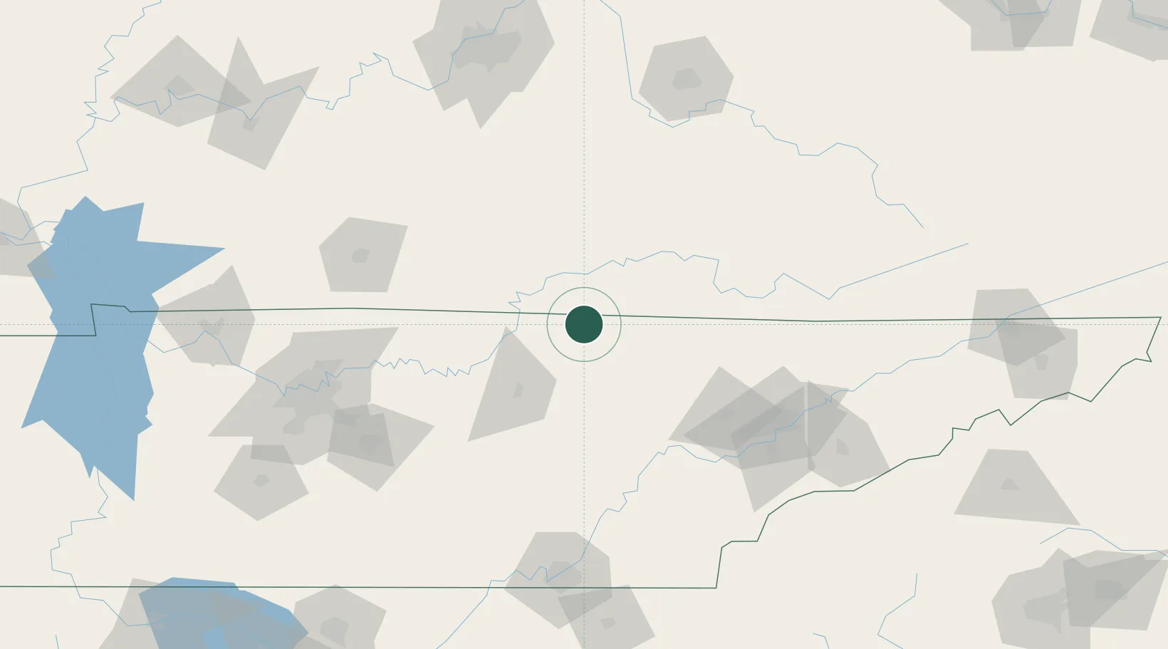
Place type
Provincial seat
Region
Tennessee
Population
814
Time zone
America/Chicago
Elevation
313 m
Location
Nearby Logistics Neighbours
Cities
- 1Jamestown25 km
- 2Burkesville33 km
- 3Celina36 km
- 4Hestand46 km
- 5Algood51 km
Ports
- 1Sandusky581 km
- 2Huron581 km
- 3Port Clinton582 km
- 4Toledo588 km
- 5Vermilion591 km
Airports
Trade Zones
- 1FTZ No. 148 Knoxville103 km
- 2FTZ No. 134 Chattanooga165 km
- 3FTZ No. 078 Nashville180 km
- 4FTZ No. 029 Louisville199 km
- 5FTZ No. 204 Tri-Cities242 km
DatabookThe Record of Consolidated Knowledge
United States beyond logistics?