UN/LOCODE hub · United States
USZBV
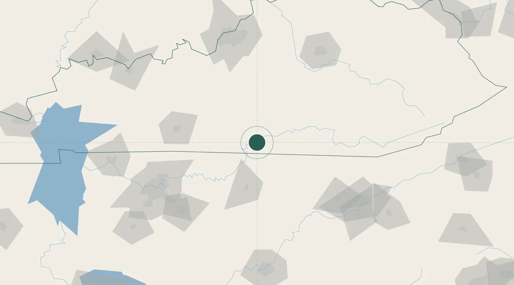
Burkesville
36.7833°, -85.3667°
1,515
Population
2
Transport functions
Transport Functions
Road
Multimodal
Hub Profile
Place type
Provincial seat
Region
Kentucky
Population
1,515
Time zone
America/Chicago
Elevation
177 m
Location
Nearby Logistics Neighbours
Cities
- 1Hestand27 km
- 2Edmonton29 km
- 3Celina29 km
- 4Summer Shade32 km
- 5Byrdstown33 km
Ports
- 1Gary564 km
- 2Michigan City566 km
- 3Port Clinton567 km
- 4Sandusky567 km
- 5Huron568 km
Airports
Trade Zones
- 1FTZ No. 148 Knoxville135 km
- 2FTZ No. 078 Nashville166 km
- 3FTZ No. 029 Louisville170 km
- 4FTZ No. 134 Chattanooga187 km
- 5FTZ No. 177 Evansville240 km
DatabookThe Record of Consolidated Knowledge
United States beyond logistics?