UN/LOCODE hub · United States
USRBP
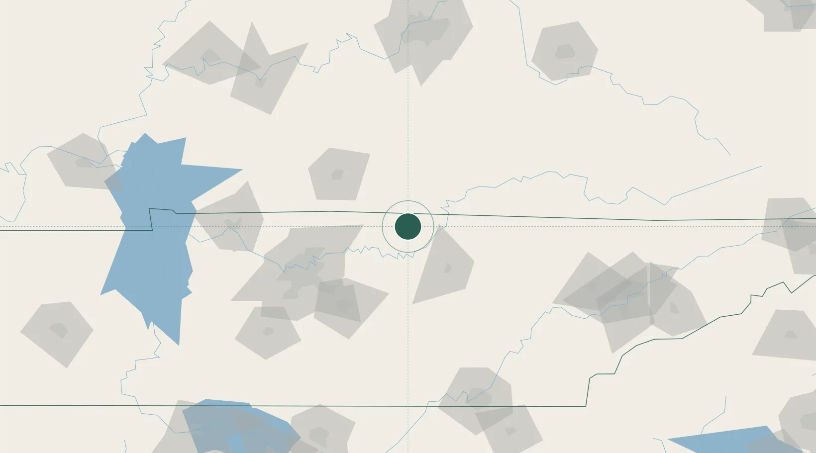
Red Boiling Springs
36.5333°, -85.8500°
1,140
Population
2
Transport functions
Transport Functions
Road
Multimodal
Hub Profile
Place type
Populated place
Region
Tennessee
Population
1,140
Time zone
America/Chicago
Elevation
235 m
Location
Nearby Logistics Neighbours
Cities
- 1Hestand25 km
- 2Celina30 km
- 3Carthage33 km
- 4Summer Shade41 km
- 5Burkesville51 km
Ports
- 1Gary580 km
- 2Michigan City585 km
- 3Indiana Harbor587 km
- 4Calumet Harbor596 km
- 5Port Clinton609 km
Airports
Trade Zones
- 1FTZ No. 078 Nashville116 km
- 2FTZ No. 148 Knoxville158 km
- 3FTZ No. 134 Chattanooga165 km
- 4FTZ No. 029 Louisville193 km
- 5FTZ No. 177 Evansville225 km
DatabookThe Record of Consolidated Knowledge
United States beyond logistics?