Medium airport · United States

Crossville Memorial Airport Whitson FieldKCSV
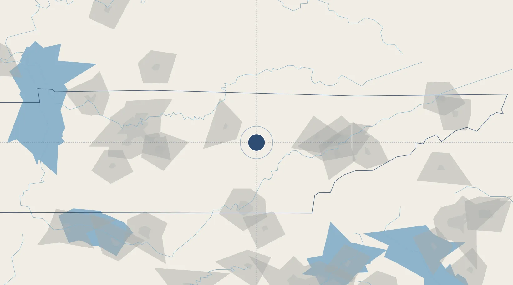
35.9513°, -85.0850°
5,423 ft
Longest runway
1
Runways
1,881 ft
Elevation

Runway & Layout

Crossville Memorial Airport Whitson Field runway & taxiway layout
Runway & taxiway layout — OpenStreetMap (ODbL) / OurAirports

Radio Frequencies

ASOS
120.625 MHz
CNTR
133.6 MHz
ATLANTA CNTR
RDO
122.2 MHz
NASHVILLE RDO
UNIC
122.7 MHz
CTAF/UNICOM
OurAirports

Navaids

HCH VORTAC Hinch Mountain 117.60 MHz
OurAirports

Runways · 1

RunwayDimensions SurfaceTrue headingLit
08/26 5,423 × 100ft Asphalt 074°
OurAirports

Airport Specifications

IATA code
CSV
OurAirports
ICAO code
KCSV
OurAirports
Airport class
Medium airport
OurAirports
Scheduled service
No
OurAirports
Runway surface
Asphalt
OurAirports
Served city
Crossville
OurAirports

Location

Location of KCSV
Natural Earth 10m (public domain) · Tennessee · KCSV · 35.95, -85.08GoogleOSMYandex

Nearby Logistics Neighbours

Airports
  1. 1McGhee Tyson Airport100 km
  2. 2Chattanooga Metropolitan Airport (Lovell Field)102 km
  3. 3Smyrna Airport129 km
  4. 4Lake Cumberland Regional Airport130 km
  5. 5Western Carolina Regional Airport139 km
Nearest neighbours — logibook spatial index (haversine) over the source coordinates
Cities
  1. 1Crab Orchard19 km
  2. 2Algood41 km
  3. 3Wartburg48 km
  4. 4Oakdale, Morgan48 km
  5. 5Jamestown54 km
Nearest neighbours — logibook spatial index (haversine) over the source coordinates
Ports
  1. 1Beaufort564 km
  2. 2Savannah567 km
  3. 3Port Royal568 km
  4. 4Darien612 km
  5. 5Brunswick629 km
Nearest neighbours — logibook spatial index (haversine) over the source coordinates
Trade Zones
  1. 1FTZ No. 148 Knoxville77 km
  2. 2FTZ No. 134 Chattanooga99 km
  3. 3FTZ No. 078 Nashville180 km
  4. 4FTZ No. 083 Huntsville211 km
  5. 5FTZ No. 270 Lawrence County221 km
Nearest neighbours — logibook spatial index (haversine) over the source coordinates
DatabookThe Record of Consolidated Knowledge
United States beyond logistics?
Browse databook

All Sources

AirportsOurAirports
Public domain
Portsthe NGA World Port Index
Public domain (US gov)
LocationsUN/LOCODE
UN/LOCODE — free
Trade Zonesthe World Bank SEZ database
CC BY 4.0
Trade ZonesOpen Zone Map
CC BY
InfrastructureOpenStreetMap
ODbL 1.0
← United States airports