Transport Functions
Road
Multimodal
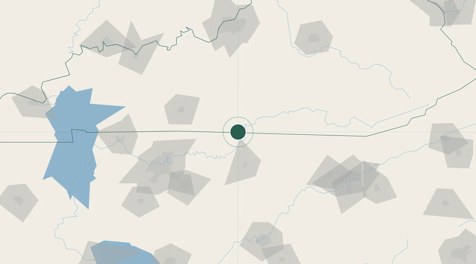
Hub Profile
Place type
Populated place
Region
Kentucky
Time zone
America/Chicago
Elevation
268 m
Location
Nearby Logistics Neighbours
Cities
- 1Celina14 km
- 2Red Boiling Springs25 km
- 3Burkesville27 km
- 4Summer Shade27 km
- 5Edmonton35 km
Ports
- 1Gary572 km
- 2Michigan City576 km
- 3Indiana Harbor579 km
- 4Calumet Harbor588 km
- 5Port Clinton589 km
Airports
Trade Zones
- 1FTZ No. 078 Nashville140 km
- 2FTZ No. 148 Knoxville145 km
- 3FTZ No. 134 Chattanooga174 km
- 4FTZ No. 029 Louisville181 km
- 5FTZ No. 177 Evansville232 km
DatabookThe Record of Consolidated Knowledge
United States beyond logistics?